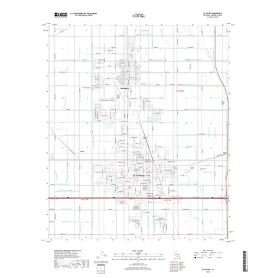
2018 Map of El Centro
USGS Topo · Published 2018About this map
El Centro and Imperial anchor this detailed study of the Imperial Valley's complex agricultural and transit landscape. The map reveals the intricate network of irrigation infrastructure essential to this desert region, featuring the Central Main Canal, Dandelion Canal, and numerous lateral drains like Dahlia Lateral Eight and Eucalyptus Lateral Seventeen. These water systems define the property boundaries and local geography between the primary settlements. To the north, the Imperial County Airport and the Imperial Cem provide significant landmarks for local researchers. Smaller communities and named areas such as Wilsie, Anza, and the Douthitt Strip appear alongside educational hubs like Imperial Valley College. The grid-based road system, including W Ralph Rd and Neckel Rd, shows the high-density agricultural development of the early 21st century.
Find a feature on this map
195 named features on this map. Tap any name to fly to it.
Don’t see what you’re looking for? This feature index may not catch every label — zoom into the map to look around manually.
Map Details
Editions of this 2018 El Centro Map
This is the sole edition of this map. No revisions or reprints were ever made.
Other maps of this area
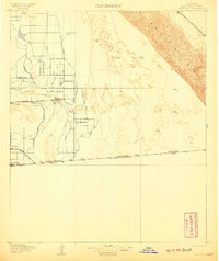
1907 · Holtville
USGS Topo · 1:125,000
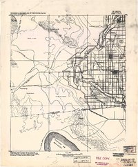
1915 · El Centro
USGS Topo · 1:125,000
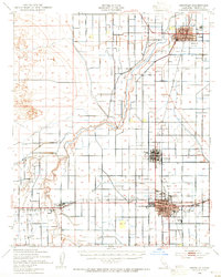
1940 · Brawley
USGS Topo · 1:62,500
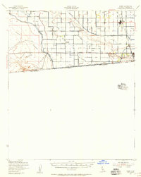
1940 · Heber
USGS Topo · 1:62,500
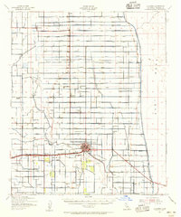
1940 · Alamorio
USGS Topo · 1:62,500
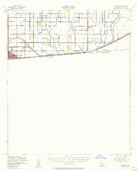
1940 · Calexico
USGS Topo · 1:62,500
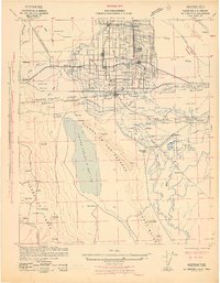
1942 · El Centro
USGS Topo · 1:250,000
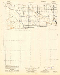
1943 · Heber
USGS Topo · 1:62,500
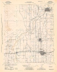
1943 · Brawley
USGS Topo · 1:62,500
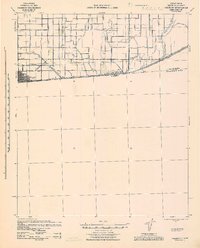
1943 · Calexico
USGS Topo · 1:62,500