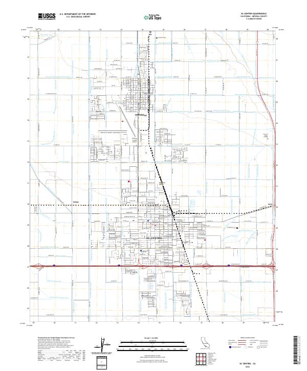
2022 Map of El Centro
USGS Topo · Published 2022About this map
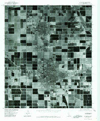
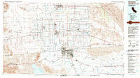
El Centro and Imperial anchor this detailed study of the Imperial Valley's intensive irrigation landscape in the early 21st century. The map reveals an intricate network of water management essential for desert agriculture, dominated by the Central Main Canal and a dense grid of laterals including the Eucalyptus Lateral Seventeen and Lotus Canal. The region's infrastructure is anchored by the Imperial County Courthouse and the sprawling Imperial Co Airport - New Runway, which sits between the two primary settlements. Beyond the urban centers, smaller locales like Wilsie and Anza appear alongside specialized features such as Imperial Valley College. This map serves as a precise record of how gravity-fed water systems like the Evergreen Canal and Dandelion Canal continue to define the geography of one of California's most productive agricultural zones.
Find a feature on this map
282 named features on this map. Tap any name to fly to it.
Don’t see what you’re looking for? This feature index may not catch every label — zoom into the map to look around manually.
Map Details
Editions of this 2022 El Centro Map
This is the sole edition of this map. No revisions or reprints were ever made.
Historical Maps of El Centro Through Time
11 maps found

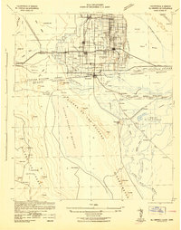
1915 El Centro
Imperial County, CA
1942 El Centro
Imperial County, CA

1954 El Centro
Imperial County, CA

1955 El Centro
Imperial County, CA
1957 El Centro
Imperial County, CA
1958 El Centro
Imperial County, CA

1961 El Centro
Imperial County, CA

1964 El Centro
Imperial County, CA
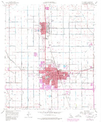
1976 El Centro
Imperial County, CA
1989 El Centro
Imperial County, CA
2022 El Centro
Imperial County, CA