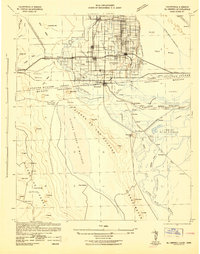
1942 Map of El Centro
USGS Topo · Published 1942About this map
The All American Canal and its Coachella Branch dominate the agricultural landscape of the Imperial Valley, illustrating the massive irrigation infrastructure required for settlement during the early 1940s. Centered on El Centro, the map reveals a dense network of country schools such as Mesquite Sch and Meloland Sch that served the growing farming communities of Imperial, Brawley, and Holtville.
Find a feature on this map
118 named features on this map. Tap any name to fly to it.
Don’t see what you’re looking for? This feature index may not catch every label — zoom into the map to look around manually.
Map Details
Editions of this 1942 El Centro Map
2 editions found

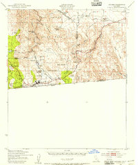
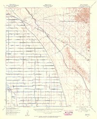
Other maps of this area

1903 · Yuma
USGS Topo · 1:125,000

1905 · Yuma
USGS Topo · 1:125,000

1907 · Holtville
USGS Topo · 1:125,000

1915 · El Centro
USGS Topo · 1:125,000

1931 · Vallecito
USGS Topo · 1:125,000

1931 · Carrizo
USGS Topo · 1:125,000
1939 · Jacumba
USGS Topo · 1:62,500

1940 · Brawley
USGS Topo · 1:62,500

1940 · Kane Spring
USGS Topo · 1:62,500
1940 · Iris
USGS Topo · 1:62,500