
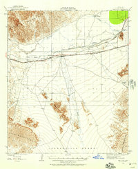
1964 Map of El Centro
USGS Topo · Published 1964About this map
Imperial Valley agriculture and the extensive water engineering required to sustain it dominate this mid-century landscape. The intricate network of the All American Canal, Coachella Canal, and the East Highline Canal feeds the agricultural corridor from Brawley down to Calexico at the Mexican border. East of these fertile grounds, the Sand Hills and West Mesa provide a stark transition into military territory, with large tracts dedicated to the U S Naval Gunnery Range and U S Naval Impact Range.
Find a feature on this map
79 named features on this map. Tap any name to fly to it.
Don’t see what you’re looking for? This feature index may not catch every label — zoom into the map to look around manually.
Map Details
Editions of this 1964 El Centro Map
This is the sole edition of this map. No revisions or reprints were ever made.
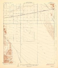
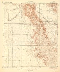
Other maps of this area

1903 · Yuma
USGS Topo · 1:125,000

1905 · Yuma
USGS Topo · 1:125,000

1907 · Holtville
USGS Topo · 1:125,000

1915 · El Centro
USGS Topo · 1:125,000

1926 · Fortuna
USGS Topo · 1:62,500
1926 · Wellton
USGS Topo · 1:62,500

1926 · Mohawk
USGS Topo · 1:62,500
1928 · Mohawk
USGS Topo · 1:62,500

1928 · Norton
USGS Topo · 1:62,500
1929 · Fortuna
USGS Topo · 1:62,500