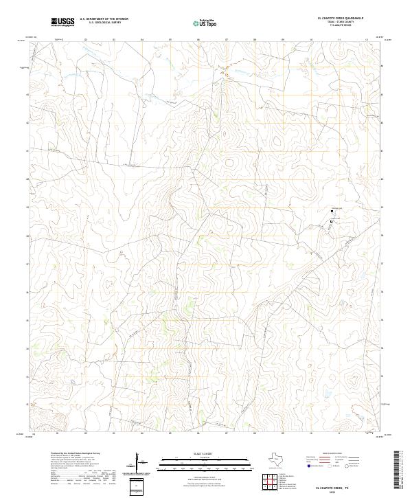
2022 Map of El Chapote Creek
USGS Topo · Published 2022About this map
El Chapote Creek and its seasonal tributaries define the landscape of this southern Texas interior. In this sparsely populated section of Starr County, the geography is marked by a network of ranch roads and cattle-country infrastructure, where family legacies are preserved at the Elizondo Cem and Garcia Cem near Main Rd. The terrain is shaped by several drainages including Saremente Creek, Del Puerto Creek, and Las Escobas Creek, which flow through a region of complex contouring and brushy draws. Modern transportation is facilitated by Ranch Road 649 and North FM 3167, providing access to the various pastures and holdings such as those along Oveja Ranch Rd.
Find a feature on this map
19 named features on this map. Tap any name to fly to it.
Don’t see what you’re looking for? This feature index may not catch every label — zoom into the map to look around manually.
Map Details
Editions of this 2022 El Chapote Creek Map
This is the sole edition of this map. No revisions or reprints were ever made.
Other maps of this area

1938 · Falcon
USGS Topo · 1:62,500

1938 · El Sauz
USGS Topo · 1:62,500

1949 · Mc Allen
USGS Topo · 1:250,000

1954 · McAllen
USGS Topo · 1:250,000

1956 · Escobares
USGS Topo · 1:62,500

1956 · Roma
USGS Topo · 1:62,500

1957 · Mc Allen
USGS Topo · 1:250,000

1962 · McAllen
USGS Topo · 1:250,000

1965 · Salineno
USGS Topo · 1:24,000

1965 · Lopeno
USGS Topo · 1:24,000