
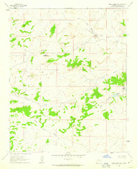
1961 Map of El Dado
USGS Topo · Published 1963About this map
Scattered springs and seasonal lagunas define the high-desert landscape of this McKinley County region in the early 1960s. Archaeological sites such as Stone Ax Ruins and various unnamed Ruins dot the terrain, suggesting a long history of human habitation near natural water sources. The area is marked by distinctive geological features like White Mesa and Dwelling Cliff, while the southern portion is dominated by the volcanic silhouette of El Dado Peak.
Find a feature on this map
49 named features on this map. Tap any name to fly to it.
Don’t see what you’re looking for? This feature index may not catch every label — zoom into the map to look around manually.
Map Details
Editions of this 1961 El Dado Map
This is the sole edition of this map. No revisions or reprints were ever made.
Other maps of this area

1883 · Mt. Taylor
USGS Topo · 1:250,000

1886 · Mt. Taylor
USGS Topo · 1:250,000

1892 · Mt. Taylor
USGS Topo · 1:250,000

1899 · Mt. Taylor
USGS Topo · 1:250,000

1958 · Albuquerque
USGS Topo · 1:250,000

1961 · Piedra De La Aguila
USGS Topo · 1:24,000

1961 · El Dado Mesa
USGS Topo · 1:24,000

1961 · Mesita Del Gavilan
USGS Topo · 1:24,000

1961 · Hospah
USGS Topo · 1:24,000
1961 · Mesita Americana
USGS Topo · 1:24,000