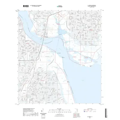
2021 Map of El Jobean
USGS Topo · Published 2021About this map
El Jobean sits at the confluence where the Myakka River opens into the broad waters of Charlotte Harbor, a landscape defined by its intricate shoreline and maritime heritage. The community is surrounded by a patchwork of conservation lands and waterways, including Tippecanoe Bay and the extensive Charlotte Harbor Preserve State Park Trl. This modern survey illustrates the dense residential street networks that have developed alongside historical landmarks like Cattle Dock Point and McCall Sand Flats, reflecting the area's transition from an early 20th-century development project to a contemporary coastal residential hub.
Find a feature on this map
34 named features on this map. Tap any name to fly to it.
Don’t see what you’re looking for? This feature index may not catch every label — zoom into the map to look around manually.
Map Details
Editions of this 2021 El Jobean Map
This is the sole edition of this map. No revisions or reprints were ever made.
Other maps of this area

1944 · Myakka River
USGS Topo · 1:31,680

1956 · Murdock
USGS Topo · 1:24,000

1956 · Murdock SE
USGS Topo · 1:24,000

1956 · Punta Gorda SE
USGS Topo · 1:24,000

1956 · Englewood
USGS Topo · 1:24,000

1956 · Tampa
USGS Topo · 1:250,000

1956 · Charlotte Harbor
USGS Topo · 1:250,000

1957 · El Jobean
USGS Topo · 1:24,000

1957 · Punta Gorda SW
USGS Topo · 1:24,000

1957 · Punta Gorda
USGS Topo · 1:24,000