
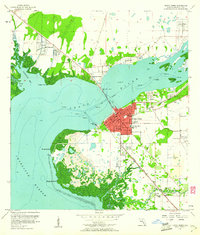
1957 Map of Punta Gorda
USGS Topo · Published 1958About this map
Punta Gorda sits at the convergence of the Peace River and Charlotte Harbor, serving as a vital mid-century coastal hub during a period of significant growth. The street grid of the city center is well-defined by thoroughfares like Marion and Taylor streets, extending toward the Municipal Dock and the City Beach Park. To the north, the emerging development of Port Charlotte is visible, alongside the riverside communities of Harbor View and Harbour Heights.
Find a feature on this map
53 named features on this map. Tap any name to fly to it.
Don’t see what you’re looking for? This feature index may not catch every label — zoom into the map to look around manually.
Map Details
Editions of this 1957 Punta Gorda Map
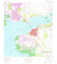
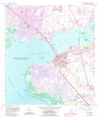
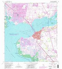
5 editions found
Other maps of this area

1956 · Murdock
USGS Topo · 1:24,000

1956 · Murdock SE
USGS Topo · 1:24,000

1956 · Cleveland
USGS Topo · 1:24,000

1956 · Ft. Ogden
USGS Topo · 1:24,000

1956 · Punta Gorda SE
USGS Topo · 1:24,000

1956 · West Palm Beach
USGS Topo · 1:250,000

1956 · Tampa
USGS Topo · 1:250,000

1956 · Fort Pierce
USGS Topo · 1:250,000

1956 · Charlotte Harbor
USGS Topo · 1:250,000

1957 · West Palm Beach
USGS Topo · 1:250,000