
1956 Map of Cleveland
USGS Topo · Published 1957About this map
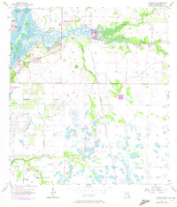
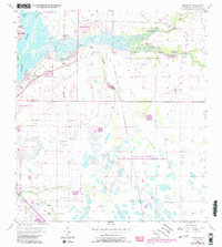
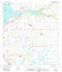
Cleveland and Harbor Heights sit at the confluence of the Peace River and its various tributaries during the mid-1950s. This survey illustrates a coastal landscape defined by expansive drainage networks, where the Atlantic Coast Line railroad cuts through the riverside settlements. The presence of an Old Railroad Grade running north-south through the center of the sheet suggests a shifting transportation infrastructure as the region transitioned from early logging or industrial paths toward modern development.
Find a feature on this map
21 named features on this map. Tap any name to fly to it.
Don’t see what you’re looking for? This feature index may not catch every label — zoom into the map to look around manually.
Map Details
Editions of this 1956 Cleveland Map
4 editions found
Other maps of this area

1956 · Arcadia SE
USGS Topo · 1:24,000

1956 · Murdock SE
USGS Topo · 1:24,000

1956 · Ft. Ogden
USGS Topo · 1:24,000

1956 · Punta Gorda SE
USGS Topo · 1:24,000

1956 · Bermont
USGS Topo · 1:24,000

1956 · West Palm Beach
USGS Topo · 1:250,000

1956 · Tampa
USGS Topo · 1:250,000

1956 · Fort Pierce
USGS Topo · 1:250,000

1956 · Charlotte Harbor
USGS Topo · 1:250,000

1957 · West Palm Beach
USGS Topo · 1:250,000