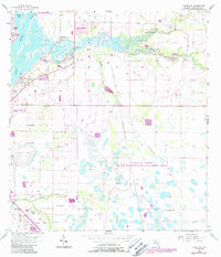
1956 Map of Cleveland
USGS Topo · Published 1987About this map
Peace River and Shell Creek dominate this 1956 landscape, showing a transition from coastal wetlands to developing residential tracts near Cleveland. The area is marked by a complex network of waterways, including Whidden Bay and Hunter Cr, which weave through terrain punctuated by Shell Point and Long Island. This survey, updated with 1980s data, reveals the growth of settlements like Harbour Heights, Sans Souci, and Tee and Green Estates alongside established features such as the Cleveland Cem.
Find a feature on this map
26 named features on this map. Tap any name to fly to it.
Don’t see what you’re looking for? This feature index may not catch every label — zoom into the map to look around manually.
Map Details
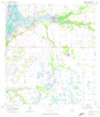
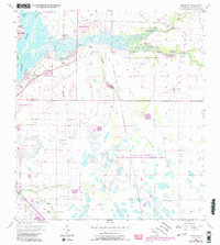
Editions of this 1956 Cleveland Map
4 editions found
Other maps of this area

1956 · Arcadia SE
USGS Topo · 1:24,000

1956 · Murdock SE
USGS Topo · 1:24,000

1956 · Cleveland
USGS Topo · 1:24,000

1956 · Ft. Ogden
USGS Topo · 1:24,000

1956 · Punta Gorda SE
USGS Topo · 1:24,000

1956 · Bermont
USGS Topo · 1:24,000

1956 · West Palm Beach
USGS Topo · 1:250,000

1956 · Tampa
USGS Topo · 1:250,000

1956 · Fort Pierce
USGS Topo · 1:250,000

1956 · Charlotte Harbor
USGS Topo · 1:250,000