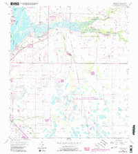
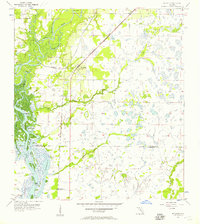
1956 Map of Cleveland
USGS Topo · Published 1987About this map
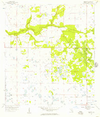
The Peace River and its confluence with Shell Creek dominate this mid-century look at Charlotte County, capturing a landscape of wetlands and emerging residential developments. Along the northern banks, waterfront communities such as Harbour Heights and Sans Souci stand in contrast to the more established Cleveland area, where the local Cleveland Cem and proximity to the river reflect the town's earlier roots. Moving inland, the map transitions into the expansive Cecil M Webb State Wildlife Management Area, a vast tract of protected land crisscrossed by an Old Railroad Grade and numerous watercourses like Myrtle Slough and Alligator Creek. This survey reveals the early infrastructure of the region, including the County Airport and several flowing wells, illustrating the balance between mid-20th-century growth and the preservation of Florida’s coastal interior.
Find a feature on this map
20 named features on this map. Tap any name to fly to it.
Don’t see what you’re looking for? This feature index may not catch every label — zoom into the map to look around manually.
Map Details
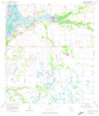
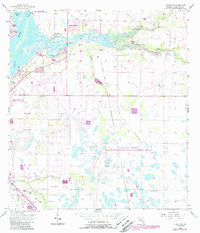
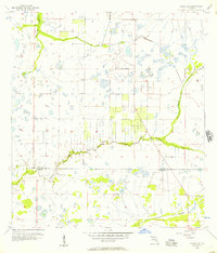
Editions of this 1956 Cleveland Map
4 editions found
Other maps of this area
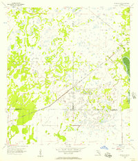
1956 · Arcadia SE
USGS Topo · 1:24,000
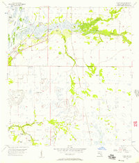
1956 · Murdock SE
USGS Topo · 1:24,000
1956 · Cleveland
USGS Topo · 1:24,000
1956 · Ft. Ogden
USGS Topo · 1:24,000
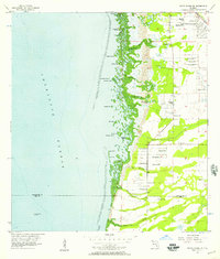
1956 · Punta Gorda SE
USGS Topo · 1:24,000
1956 · Bermont
USGS Topo · 1:24,000

1956 · West Palm Beach
USGS Topo · 1:250,000

1956 · Tampa
USGS Topo · 1:250,000

1956 · Fort Pierce
USGS Topo · 1:250,000
1956 · Charlotte Harbor
USGS Topo · 1:250,000