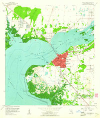
1957 Map of Punta Gorda
USGS Topo · Published 1961About this map
The Peace River and the expansive Charlotte Harbor dominate this coastal landscape, where the Punta Gorda town center is shown in concentrated red development. Connected to the mainland via the Collier Bridge, the area showcases a mid-century Florida waterfront transition, balancing established civic infrastructure like the Waterworks and Municipal Dock with newer leisure features including a Drive-in Theater and City Beach Park. South of the town, the landscape becomes a complex network of wetlands and mangrove islands near Mangrove Point, while the Atlantic Coast Line railroad dictates the inland corridor through Acline. Local history is preserved in the location of the Indian Springs Cem and an Indian Mound near Alligator Creek, providing researchers with a detailed look at the region’s topography before extensive modern canal dredging altered much of the shoreline.
Find a feature on this map
35 named features on this map. Tap any name to fly to it.
Don’t see what you’re looking for? This feature index may not catch every label — zoom into the map to look around manually.
Map Details
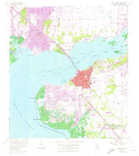
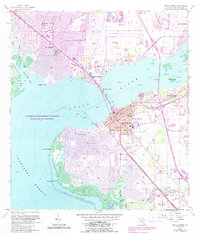
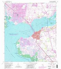
Editions of this 1957 Punta Gorda Map
5 editions found

Other maps of this area

1956 · Murdock
USGS Topo · 1:24,000

1956 · Murdock SE
USGS Topo · 1:24,000

1956 · Cleveland
USGS Topo · 1:24,000

1956 · Ft. Ogden
USGS Topo · 1:24,000

1956 · Punta Gorda SE
USGS Topo · 1:24,000

1956 · West Palm Beach
USGS Topo · 1:250,000

1956 · Tampa
USGS Topo · 1:250,000

1956 · Fort Pierce
USGS Topo · 1:250,000

1956 · Charlotte Harbor
USGS Topo · 1:250,000

1957 · West Palm Beach
USGS Topo · 1:250,000