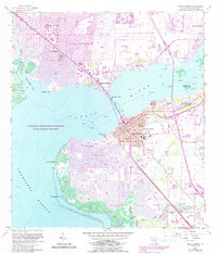
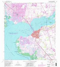
1957 Map of Punta Gorda
USGS Topo · Published 1988About this map
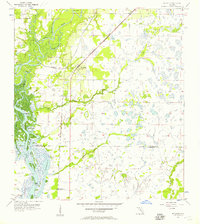
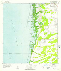
Peace River and Charlotte Harbor serve as the central landmarks of this 1957 survey, which documents a pivotal era of coastal development. The map details the growing footprint of Punta Gorda and the emergence of planned communities like Port Charlotte and Punta Gorda Isles. While the modern residential canals are evident, the map also preserves the area's older history, including the Indian Mound near Alligator Creek and the Indian Springs Cem near the southern boundary.
Find a feature on this map
51 named features on this map. Tap any name to fly to it.
Don’t see what you’re looking for? This feature index may not catch every label — zoom into the map to look around manually.
Map Details
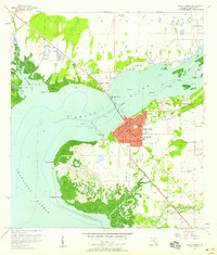
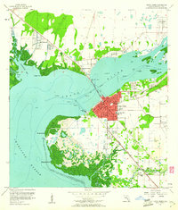
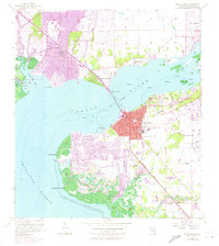
Editions of this 1957 Punta Gorda Map
5 editions found
Other maps of this area
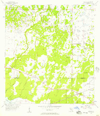
1956 · Murdock
USGS Topo · 1:24,000
1956 · Murdock SE
USGS Topo · 1:24,000
1956 · Cleveland
USGS Topo · 1:24,000
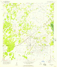
1956 · Ft. Ogden
USGS Topo · 1:24,000
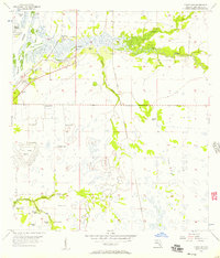
1956 · Punta Gorda SE
USGS Topo · 1:24,000

1956 · West Palm Beach
USGS Topo · 1:250,000

1956 · Tampa
USGS Topo · 1:250,000

1956 · Fort Pierce
USGS Topo · 1:250,000
1956 · Charlotte Harbor
USGS Topo · 1:250,000

1957 · West Palm Beach
USGS Topo · 1:250,000