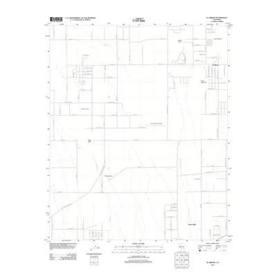
2012 Map of El Mirage
USGS Topo · Published 2012About this map
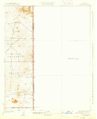
The El Mirage and Pinon Hills communities occupy a high-desert landscape defined by dry washes and prominent geological rises in the early 21st century. The map reveals a structured grid of rural roads, including E Avenue O and Oasis Rd, which serve small ranching and residential plots such as the Vanderburg Ranch. In the central portion of the sheet, the Gray Butte Field Airport sits as a significant aviation landmark near the junction of several long avenues.
Find a feature on this map
83 named features on this map. Tap any name to fly to it.
Don’t see what you’re looking for? This feature index may not catch every label — zoom into the map to look around manually.
Map Details
Editions of this 2012 El Mirage Map
This is the sole edition of this map. No revisions or reprints were ever made.
Other maps of this area

1901 · Southern California Sheet No. 1
USGS Topo · 1:250,000
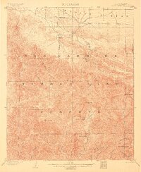
1903 · Rock Creek
USGS Topo · 1:62,500
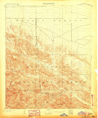
1903 · San Antonio
USGS Topo · 1:62,500

1904 · Southern California Sheet No. 1
USGS Topo · 1:250,000
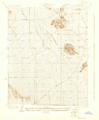
1930 · Black Butte
USGS Topo · 1:24,000
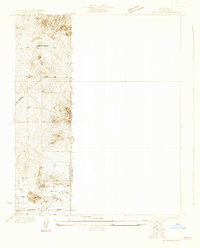
1930 · El Mirage
USGS Topo · 1:24,000
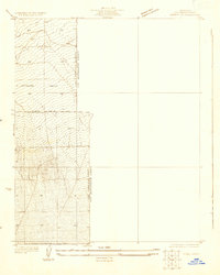
1930 · Angle
USGS Topo · 1:24,000
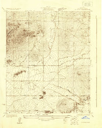
1930 · Wilsona
USGS Topo · 1:24,000
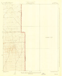
1932 · Angle
USGS Topo · 1:24,000
1933 · El Mirage
USGS Topo · 1:24,000