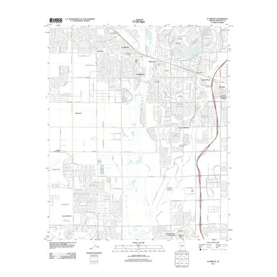
2011 Map of El Mirage
USGS Topo · Published 2011About this map
El Mirage and the surrounding Salt River Valley suburbs showcase a landscape of intensive residential development and recreational planning by the early 21st century. The map highlights the distinct master-planned layout of Sun City, organized around Viewpoint Lake and numerous golf courses like Lakes East Golf Course and Lakes West Golf Course. The Agua Fria River and New River channel the arid environment, while older agricultural roots are still visible through named sites like LaLoma Ranch and Bumstead. Transport and infrastructure are central to the area's layout, anchored by the Glendale Municipal Airport and Litchfield Airport. This survey provides a precise look at the suburban expansion between established centers like Youngtown and newer developments such as Country Meadows, capturing the transition from desert ranch land to a densely interconnected metropolitan corridor.
Find a feature on this map
46 named features on this map. Tap any name to fly to it.
Don’t see what you’re looking for? This feature index may not catch every label — zoom into the map to look around manually.
Map Details
Editions of this 2011 El Mirage Map
This is the sole edition of this map. No revisions or reprints were ever made.
Other maps of this area

1912 · Phoenix
USGS Topo · 1:62,500

1914 · Phoenix
USGS Topo · 1:62,500

1946 · Avondale
USGS Topo · 1:62,500

1948 · Cashion
USGS Topo · 1:62,500

1952 · Fowler
USGS Topo · 1:24,000

1952 · Phoenix
USGS Topo · 1:62,500

1954 · Phoenix
USGS Topo · 1:250,000

1957 · Phoenix
USGS Topo · 1:250,000

1957 · Perryville
USGS Topo · 1:24,000

1957 · Calderwood Butte
USGS Topo · 1:24,000