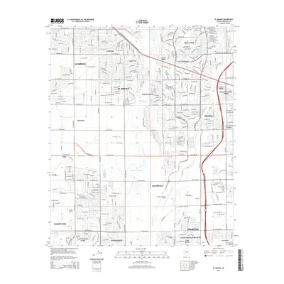
2014 Map of El Mirage
USGS Topo · Published 2014About this map
Sun City and its distinctive circular street layouts define the landscape of the West Valley in this mid-2010s survey. The planned residential communities of Youngtown, El Mirage, and Peoria are shown in detail, framed by the braided channels of the Aqua Fria River and the New River. This area serves as a critical junction for military and civil aviation, anchored by the sprawling Luke Air Force Base in the southwest and the Glendale Municipal Airport to the east.
Find a feature on this map
59 named features on this map. Tap any name to fly to it.
Don’t see what you’re looking for? This feature index may not catch every label — zoom into the map to look around manually.
Map Details
Editions of this 2014 El Mirage Map
This is the sole edition of this map. No revisions or reprints were ever made.
Other maps of this area

1912 · Phoenix
USGS Topo · 1:62,500

1914 · Phoenix
USGS Topo · 1:62,500

1946 · Avondale
USGS Topo · 1:62,500

1948 · Cashion
USGS Topo · 1:62,500

1952 · Fowler
USGS Topo · 1:24,000

1952 · Phoenix
USGS Topo · 1:62,500

1954 · Phoenix
USGS Topo · 1:250,000

1957 · Phoenix
USGS Topo · 1:250,000

1957 · Perryville
USGS Topo · 1:24,000

1957 · Calderwood Butte
USGS Topo · 1:24,000