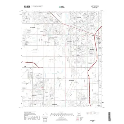
2018 Map of El Mirage
USGS Topo · Published 2018About this map
Luke Air Force Base anchor the western edge of this suburban landscape, where the expanding urban grid of the West Valley meets the drainage of the Agua Fria River. The map reveals a mosaic of master-planned communities and retirement enclaves, such as Sun City and Youngtown, which developed alongside agricultural and industrial operations like M R Tanner Mining Inc. Historical markers of an earlier era are still visible, including the Heath Grave in the south and the LaLoma Ranch near the boundary of Goodyear.
Find a feature on this map
58 named features on this map. Tap any name to fly to it.
Don’t see what you’re looking for? This feature index may not catch every label — zoom into the map to look around manually.
Map Details
Editions of this 2018 El Mirage Map
This is the sole edition of this map. No revisions or reprints were ever made.
Other maps of this area

1912 · Phoenix
USGS Topo · 1:62,500

1914 · Phoenix
USGS Topo · 1:62,500

1946 · Avondale
USGS Topo · 1:62,500

1948 · Cashion
USGS Topo · 1:62,500

1952 · Fowler
USGS Topo · 1:24,000

1952 · Phoenix
USGS Topo · 1:62,500

1954 · Phoenix
USGS Topo · 1:250,000

1957 · Phoenix
USGS Topo · 1:250,000

1957 · Perryville
USGS Topo · 1:24,000

1957 · Calderwood Butte
USGS Topo · 1:24,000