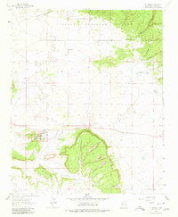
1963 Map of El Morro
USGS Topo · Published 1980About this map
El Morro National Monument stands as the centerpiece of this West-Central New Mexico landscape, preserving the massive sandstone promontory where travelers for centuries carved their names into the soft rock. Known locally as Inscription Rock, this landmark is surrounded by archaeological evidence of ancient habitation, including multiple Pueblo Ruins and the Pueblito site. The terrain transition is sharp, moving from the open plains of Sand Corner to the elevated, timbered slopes of the Cibola National Forest and the Zuni Mountains to the north.
Find a feature on this map
26 named features on this map. Tap any name to fly to it.
Don’t see what you’re looking for? This feature index may not catch every label — zoom into the map to look around manually.
Map Details
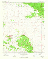
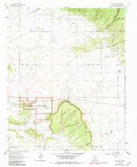
Editions of this 1963 El Morro Map
3 editions found
Other maps of this area

1886 · Wingate
USGS Topo · 1:250,000

1892 · Wingate
USGS Topo · 1:250,000

1952 · Valle Largo
USGS Topo · 1:24,000

1952 · Post Office Flat
USGS Topo · 1:24,000

1954 · Saint Johns
USGS Topo · 1:250,000

1954 · Gallup
USGS Topo · 1:250,000

1957 · Saint Johns
USGS Topo · 1:250,000

1958 · Gallup
USGS Topo · 1:250,000

1958 · Saint Johns
USGS Topo · 1:250,000

1959 · Gallup
USGS Topo · 1:250,000
Featured Places
- Eastern Navajo Agency, NM
- Sand Corner, Eastern Navajo Agency
- Tinaja, Eastern Navajo Agency
- El Morro, Eastern Navajo Agency
- El Morro, Eastern Navajo Agency