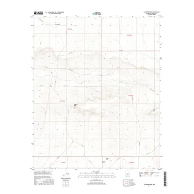
2017 Map of El Morro Mesa
USGS Topo · Published 2017About this map
El Morro Mesa and Conejo Mesa dominate this high-desert landscape in De Baca County, showcasing the dramatic topography of the eastern New Mexico plains. The drainage of Yeso Cr cuts through the center of the quadrangle, flanked by a network of ranch roads that reflect the area's enduring livestock and grazing history. Notable routes like Mustang Rd, Red Horse Rd, and Saddleback Rd weave through the township and range lines, providing access to the broad expanses of Gramma Valley and Whites Draw. This 2017 survey details the intersection of modern county infrastructure with the traditional land divisions of T1N and T2N, where the terrain transitions from flat mesas to the eroded draws and valleys typical of the region.
Find a feature on this map
24 named features on this map. Tap any name to fly to it.
Don’t see what you’re looking for? This feature index may not catch every label — zoom into the map to look around manually.
Map Details
Editions of this 2017 El Morro Mesa Map
This is the sole edition of this map. No revisions or reprints were ever made.
Other maps of this area

1954 · Fort Sumner
USGS Topo · 1:250,000

1958 · Fort Sumner
USGS Topo · 1:250,000
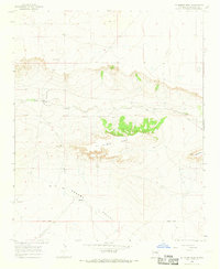
1966 · El Morro Mesa
USGS Topo · 1:24,000
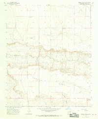
1966 · Horney Ranch
USGS Topo · 1:24,000
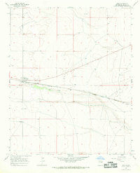
1966 · Yeso
USGS Topo · 1:24,000
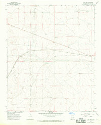
1966 · Yeso NW
USGS Topo · 1:24,000
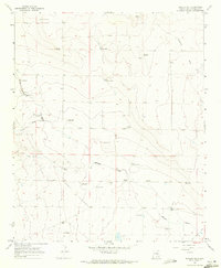
1967 · Dunlap NE
USGS Topo · 1:24,000
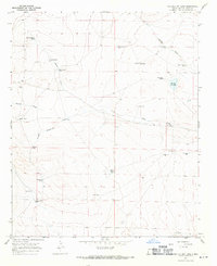
1967 · The Old Dry Lake
USGS Topo · 1:24,000
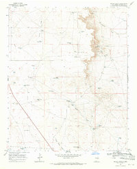
1967 · Wright Ranch
USGS Topo · 1:24,000
1979 · Fort Sumner
USGS Topo · 1:100,000