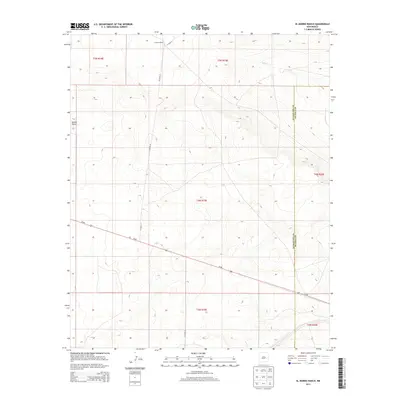
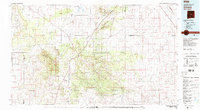
2013 Map of El Morro Ranch
USGS Topo · Published 2013About this map
El Morro Ranch occupies the northern high desert landscape of this 2013 survey, where the open range is defined by the ephemeral drainage of Salado Cr. The terrain is marked by distinct geological features like Sotano Blanco, while the vast, arid expanse is primarily navigated via a grid of county roads, including CO Road 3F, CO Road 3J, and CO Road 3H. Cutting diagonally across the southwestern portion of the sheet, Us-60 provides the primary transit artery through this ranching territory. The map also delineates the jurisdictional boundary between Guadalupe and De Baca Counties, illustrating how historical land divisions persist in the modern management of this New Mexico cattle country.
Find a feature on this map
14 named features on this map. Tap any name to fly to it.
Don’t see what you’re looking for? This feature index may not catch every label — zoom into the map to look around manually.
Map Details
Editions of this 2013 El Morro Ranch Map
This is the sole edition of this map. No revisions or reprints were ever made.
Other maps of this area

1954 · Fort Sumner
USGS Topo · 1:250,000

1958 · Fort Sumner
USGS Topo · 1:250,000
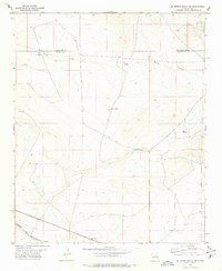
1978 · El Morro Ranch SE
USGS Topo · 1:24,000
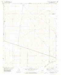
1978 · El Morro Ranch
USGS Topo · 1:24,000
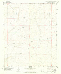
1978 · Laguna De Los Terreros
USGS Topo · 1:24,000
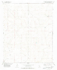
1978 · El Morro Ranch NW
USGS Topo · 1:24,000
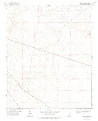
1978 · Long Draw
USGS Topo · 1:24,000
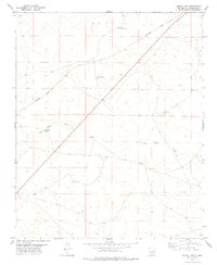
1978 · Burro Lake
USGS Topo · 1:24,000
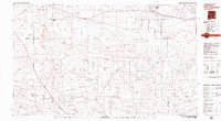
1979 · Fort Sumner
USGS Topo · 1:100,000
1980 · Corona
USGS Topo · 1:100,000