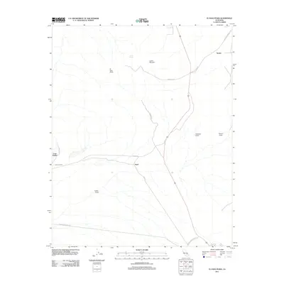
2012 Map of El Paso Peaks
USGS Topo · Published 2012About this map
Yellow Aster Mill stands as a prominent landmark in this desert landscape, marking the enduring industrial footprint near the settlement of Rand. The terrain is defined by the high elevations of El Paso Peaks and Laurel Mountain, with numerous drainages like Fiddler Gulch and Hardcash Gulch cutting through the arid topography. This modern survey illustrates the proximity of historical mining operations to established road networks, including Garlock Rd and Searles Station Rd.
Find a feature on this map
19 named features on this map. Tap any name to fly to it.
Don’t see what you’re looking for? This feature index may not catch every label — zoom into the map to look around manually.
Map Details
Editions of this 2012 El Paso Peaks Map
This is the sole edition of this map. No revisions or reprints were ever made.
Other maps of this area

1903 · Randsburg
USGS Topo · 1:62,500

1911 · Randsburg
USGS Topo · 1:62,500

1912 · Randsburg
USGS Topo · 1:62,500

1915 · Searles Lake
USGS Topo · 1:250,000

1943 · Inyokern
USGS Topo · 1:62,500

1943 · Saltdale
USGS Topo · 1:62,500

1947 · Trona
USGS Topo · 1:250,000

1948 · Trona
USGS Topo · 1:250,000

1953 · Ridgecrest
USGS Topo · 1:62,500

1953 · Trona
USGS Topo · 1:250,000