
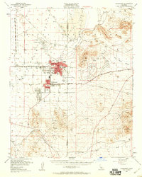
1953 Map of Ridgecrest
USGS Topo · Published 1955About this map
Indian Wells Valley is defined by a mid-century military and mining landscape at the border of Kern and San Bernardino counties. The early growth of Ridgecrest and China Lake is clearly visible, centered around the Naval Reservation Boundary and aviation facilities at Armitage Field. Educational infrastructure like Burroughs High Sch and Monroe Sch anchors the residential sectors, while a Drive-In Theater and Davis Airport reflect the area's mid-1950s development.
Find a feature on this map
38 named features on this map. Tap any name to fly to it.
Don’t see what you’re looking for? This feature index may not catch every label — zoom into the map to look around manually.
Map Details
Editions of this 1953 Ridgecrest Map
4 editions found
Other maps of this area

1903 · Randsburg
USGS Topo · 1:62,500

1911 · Randsburg
USGS Topo · 1:62,500

1912 · Randsburg
USGS Topo · 1:62,500

1915 · Searles Lake
USGS Topo · 1:250,000

1943 · Inyokern
USGS Topo · 1:62,500

1943 · Saltdale
USGS Topo · 1:62,500

1947 · Trona
USGS Topo · 1:250,000

1948 · Trona
USGS Topo · 1:250,000

1949 · Trona
USGS Topo · 1:62,500

1949 · Searles Lake
USGS Topo · 1:62,500