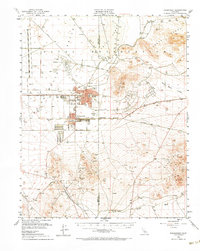
1953 Map of Ridgecrest
USGS Topo · Published 1970About this map
China Lake and Ridgecrest serve as the primary hubs in this mid-century desert landscape, illustrating the rapid expansion of military and civilian infrastructure within the Indian Wells Valley. The map detail reveals a specialized community revolving around the Naval Reservation Boundary, where Armitage Field and various administrative buildings like the Administration Bldg sit adjacent to local schools such as Burroughs High Sch and Vieweg Sch.
Find a feature on this map
41 named features on this map. Tap any name to fly to it.
Don’t see what you’re looking for? This feature index may not catch every label — zoom into the map to look around manually.
Map Details
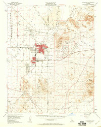
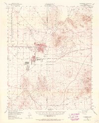
Editions of this 1953 Ridgecrest Map
4 editions found

Other maps of this area

1903 · Randsburg
USGS Topo · 1:62,500

1911 · Randsburg
USGS Topo · 1:62,500

1912 · Randsburg
USGS Topo · 1:62,500

1915 · Searles Lake
USGS Topo · 1:250,000

1943 · Inyokern
USGS Topo · 1:62,500

1943 · Saltdale
USGS Topo · 1:62,500

1947 · Trona
USGS Topo · 1:250,000

1948 · Trona
USGS Topo · 1:250,000

1949 · Trona
USGS Topo · 1:62,500

1949 · Searles Lake
USGS Topo · 1:62,500