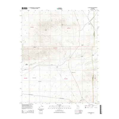
2015 Map of El Paso Peaks
USGS Topo · Published 2015About this map
El Paso Peaks and the Summit Range dominate this desert landscape where the northwestern Mojave Desert meets the Fremont Valley. The settlement of Rand sits at the junction of Garlock Rd and Goler Rd, serving as a central point in an area historically defined by its proximity to mining and transport corridors. The map details a network of dry watercourses, including Fiddler Gulch, Hardcash Gulch, and Phoenix Gulch, which cut through the high ground of the El Paso Mountains. In the northeast, the community of Searles is positioned near the Kern Co San Bernardino Co line, accessed by the Searles Station Cutoff Rd. Elevations range significantly from the valley floors up to prominent landmarks like Laurel Mtn, while Willow Spring provides a rare named water source in this arid environment.
Find a feature on this map
25 named features on this map. Tap any name to fly to it.
Don’t see what you’re looking for? This feature index may not catch every label — zoom into the map to look around manually.
Map Details
Editions of this 2015 El Paso Peaks Map
This is the sole edition of this map. No revisions or reprints were ever made.
Other maps of this area
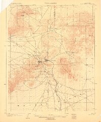
1903 · Randsburg
USGS Topo · 1:62,500
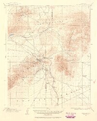
1911 · Randsburg
USGS Topo · 1:62,500
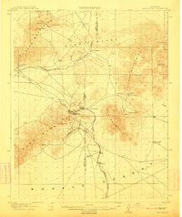
1912 · Randsburg
USGS Topo · 1:62,500
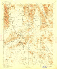
1915 · Searles Lake
USGS Topo · 1:250,000
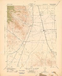
1943 · Inyokern
USGS Topo · 1:62,500
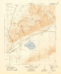
1943 · Saltdale
USGS Topo · 1:62,500
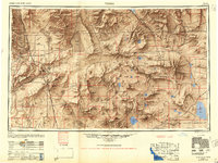
1947 · Trona
USGS Topo · 1:250,000
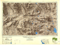
1948 · Trona
USGS Topo · 1:250,000
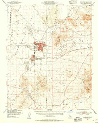
1953 · Ridgecrest
USGS Topo · 1:62,500
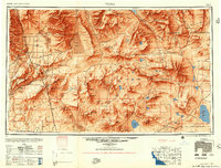
1953 · Trona
USGS Topo · 1:250,000