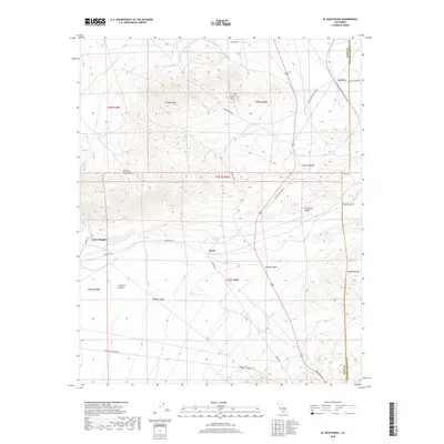
2018 Map of El Paso Peaks
USGS Topo · Published 2018About this map
The high desert terrain of the Mojave Desert and the El Paso Mountains dominate this survey of eastern Kern County. The small community of Rand sits at a critical junction of desert routes, including Garlock Rd and Goler Rd, reflecting the region’s long history of mining and transit. To the north, the elevation rises sharply toward El Paso Peaks and Laurel Mtn, where steep drainages like Hardcash Gulch and Phoenix Gulch cut through the Summit Range.
Find a feature on this map
31 named features on this map. Tap any name to fly to it.
Don’t see what you’re looking for? This feature index may not catch every label — zoom into the map to look around manually.
Map Details
Editions of this 2018 El Paso Peaks Map
This is the sole edition of this map. No revisions or reprints were ever made.
Other maps of this area
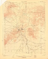
1903 · Randsburg
USGS Topo · 1:62,500
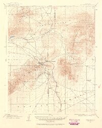
1911 · Randsburg
USGS Topo · 1:62,500
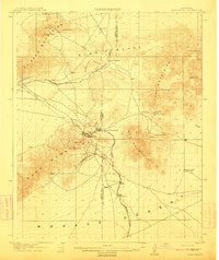
1912 · Randsburg
USGS Topo · 1:62,500
1915 · Searles Lake
USGS Topo · 1:250,000
1943 · Inyokern
USGS Topo · 1:62,500
1943 · Saltdale
USGS Topo · 1:62,500
1947 · Trona
USGS Topo · 1:250,000
1948 · Trona
USGS Topo · 1:250,000
1953 · Ridgecrest
USGS Topo · 1:62,500
1953 · Trona
USGS Topo · 1:250,000