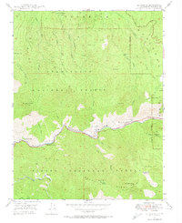
1947 Map of El Portal
USGS Topo · Published 1974About this map
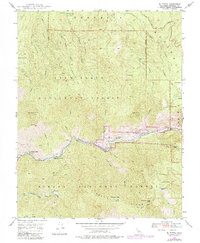
El Portal serves as a central hub for this late-1940s survey, situated along the Merced River at the gateway to the high Sierras. The landscape is defined by the steep canyon walls where the Yosemite All-Year Highway and the historic Old Coulterville Road navigate the complex terrain. Settlement patterns are concentrated near the water and transport routes, with small communities like Rancheria Flat and Incline marking the human footprint in an otherwise wilderness-heavy area.
Find a feature on this map
43 named features on this map. Tap any name to fly to it.
Don’t see what you’re looking for? This feature index may not catch every label — zoom into the map to look around manually.
Map Details
Editions of this 1947 El Portal Map
6 editions found
Other maps of this area

1897 · Yosemite
USGS Topo · 1:125,000

1900 · Yosemite
USGS Topo · 1:125,000

1903 · Yosemite
USGS Topo · 1:125,000

1909 · Yosemite
USGS Topo · 1:125,000

1947 · El Portal
USGS Topo · 1:24,000

1947 · Mariposa
USGS Topo · 1:250,000

1947 · El Portal
USGS Topo · 1:62,500

1947 · Buckingham Mtn
USGS Topo · 1:24,000
1947 · Feliciana Mtn.
USGS Topo · 1:24,000
1947 · Kinsley
USGS Topo · 1:24,000