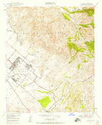
1949 Map of El Toro
USGS Topo · Published 1958About this map
The El Toro Naval Air Station Reservation dominates the landscape of southern Orange County in the late 1940s, providing a focal point of infrastructure amid the sprawling ranchlands and canyon topography. To the northeast, the terrain rises sharply into the Lomas de Santiago and the Cleveland National Forest, where features like the Sinks and the Bolero Lookout mark the transition from the coastal plain to the Santa Ana Mountains. This era captures the region before the massive suburban expansion of later decades, showing the original settlement of El Toro and the El Toro Cem adjacent to the Atchison Topeka and Santa Fe railroad tracks.
Find a feature on this map
45 named features on this map. Tap any name to fly to it.
Don’t see what you’re looking for? This feature index may not catch every label — zoom into the map to look around manually.
Map Details
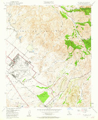
Editions of this 1949 El Toro Map
2 editions found
Other maps of this area

1896 · Santa Ana
USGS Topo · 1:62,500

1896 · Anaheim
USGS Topo · 1:62,500

1898 · Anaheim
USGS Topo · 1:62,500

1901 · Southern California Sheet No. 1
USGS Topo · 1:250,000

1901 · Santa Ana
USGS Topo · 1:62,500

1901 · Anaheim
USGS Topo · 1:62,500

1902 · Corona
USGS Topo · 1:125,000

1904 · Southern California Sheet No. 1
USGS Topo · 1:250,000

1932 · Orange
USGS Topo · 1:31,680

1932 · Tustin
USGS Topo · 1:31,680