
1947 Map of El Yunque NE
USGS Topo · Published 1947About this map
Caribbean National Forest dominates the southern reaches of this landscape, its steep elevation indicated by tight contour intervals that descend toward the coastal lowlands. Along the northern corridor, the settlement of Mameyes (Palmer) sits near the confluence of local transport routes and the Río Mameyes. The map reveals a transition from the dense, undeveloped interior of the forest to the agricultural and residential patterns of the Municipio de Rio Grande and Municipio de Luquillo. Numerous waterways such as Quebrada Culebra and Quebrada Jimenez carve through the terrain, illustrating the complex drainage system feeding the Río Grande de Luquillo. This 1943 topography, published just after the war, provides a precise record of the road network and smaller clusters like Mabi before late-century development altered the rural character of the region.
Find a feature on this map
10 named features on this map. Tap any name to fly to it.
Don’t see what you’re looking for? This feature index may not catch every label — zoom into the map to look around manually.
Map Details
Editions of this 1947 El Yunque NE Map
This is the sole edition of this map. No revisions or reprints were ever made.
Other maps of this area

1941 · Rio Grande
USGS Topo · 1:30,000

1945 · El Yunque
USGS Topo · 1:30,000

1946 · El Yunque
USGS Topo · 1:30,000

1946 · Fajardo
USGS Topo · 1:30,000
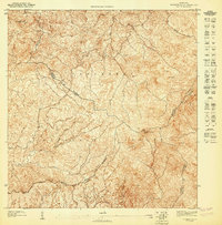
1947 · El Yunque SO
USGS Topo · 1:10,000

1947 · Rio Grande
USGS Topo · 1:30,000

1947 · El Yunque SE
USGS Topo · 1:10,000
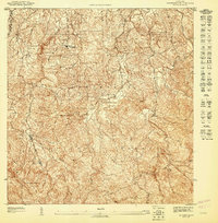
1947 · El Yunque NO
USGS Topo · 1:10,000
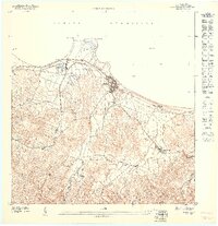
1947 · Fajardo NO
USGS Topo · 1:10,000
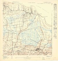
1949 · Rio Grande SO
USGS Topo · 1:10,000
Featured Places
- Hacienda Jordán, Río Grande
- Colinas Tres T, Río Grande
- Comunidad La Vega, Río Grande
- Mabí, Río Grande
- Luquillo