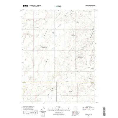
2020 Map of Elaterite Basin
USGS Topo · Published 2020About this map
Canyonlands National Park and the Glen Canyon National Recreation Area converge in this high-desert landscape, defined by a complex system of drainage and erosion. The central Elaterite Basin is anchored by Big Water Spring and the prominent Elaterite Butte. The geography is characterized by distinct vertical formations like The Wall and Lizard Rock, alongside sculptural features such as Tibbett Arch, Cave Arch, and The Mother and Child.
Find a feature on this map
32 named features on this map. Tap any name to fly to it.
Don’t see what you’re looking for? This feature index may not catch every label — zoom into the map to look around manually.
Map Details
Editions of this 2020 Elaterite Basin Map
This is the sole edition of this map. No revisions or reprints were ever made.
Other maps of this area

1885 · San Rafael
USGS Topo · 1:250,000

1885 · La Sal
USGS Topo · 1:250,000

1951 · Upheaval Dome
USGS Topo · 1:62,500

1952 · Carlisle 2 SW
USGS Topo · 1:24,000

1953 · Carlisle 3 NW
USGS Topo · 1:24,000

1953 · Orange Cliffs 1 SE
USGS Topo · 1:24,000

1953 · Orange Cliffs 4 NW
USGS Topo · 1:24,000

1953 · Orange Cliffs 4 NE
USGS Topo · 1:24,000

1953 · Orange Cliffs 4 SW
USGS Topo · 1:24,000

1953 · The Spur
USGS Topo · 1:62,500