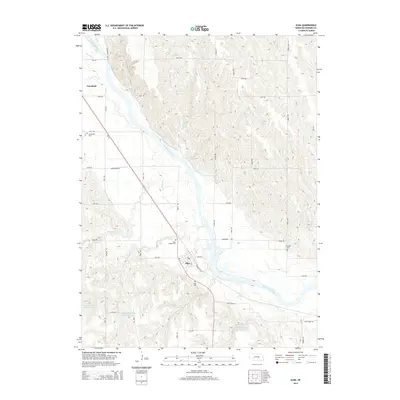
2014 Map of Elba
USGS Topo · Published 2014About this map
The North Loup River valley dominates this Howard County landscape, where the small settlements of Elba and Cotesfield anchor the local community. The topography is defined by the river's wide floodplain and the dissected uplands to the east and west, carved by tributaries such as Auger Cr, Munson Cr, and Moffet Cr. The transport network follows a distinct pattern, with Ne 11 providing a primary diagonal corridor through the valley, while a grid of local roads like Naper Rd and Rose Rd serves the surrounding farmland. Genealogists will find several key burial sites documented, including Saint Joseph Cem and Elba Cem near the town center, as well as the more remote Fairdale Cem. Modern water management is visible through specialized features like the Channel-Block Reservoir 1-2, designed to manage flow and erosion in this river-driven environment.
Find a feature on this map
39 named features on this map. Tap any name to fly to it.
Don’t see what you’re looking for? This feature index may not catch every label — zoom into the map to look around manually.
Map Details
Editions of this 2014 Elba Map
This is the sole edition of this map. No revisions or reprints were ever made.
Other maps of this area

1899 · Loup
USGS Topo · 1:125,000

1899 · St. Paul
USGS Topo · 1:125,000

1953 · Cotesfield
USGS Topo · 1:24,000

1953 · Scotia NE
USGS Topo · 1:24,000

1953 · Scotia
USGS Topo · 1:24,000

1953 · Farwell
USGS Topo · 1:24,000

1953 · Nysted
USGS Topo · 1:24,000

1953 · Elba
USGS Topo · 1:24,000

1954 · Wolbach
USGS Topo · 1:24,000

1955 · Broken Bow
USGS Topo · 1:250,000