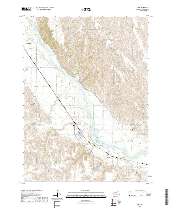
2021 Map of Elba
USGS Topo · Published 2021About this map
The North Loup River dictates the landscape of Howard County in this modern survey, creating a fertile valley flanked by dissected uplands and tributary creeks. The village of Elba is situated at the river's bend, where a grid of local streets like Alda St and Caroline St meets the rural intersection of Odell Rd. To the northwest, the small settlement of Cotesfield sits along the riverbank, linked to the surrounding farmland by the historic Deadwood Trl.
Find a feature on this map
46 named features on this map. Tap any name to fly to it.
Don’t see what you’re looking for? This feature index may not catch every label — zoom into the map to look around manually.
Map Details
Editions of this 2021 Elba Map
This is the sole edition of this map. No revisions or reprints were ever made.
Other maps of this area

1899 · Loup
USGS Topo · 1:125,000

1899 · St. Paul
USGS Topo · 1:125,000

1953 · Cotesfield
USGS Topo · 1:24,000

1953 · Scotia NE
USGS Topo · 1:24,000

1953 · Scotia
USGS Topo · 1:24,000

1953 · Farwell
USGS Topo · 1:24,000

1953 · Nysted
USGS Topo · 1:24,000

1953 · Elba
USGS Topo · 1:24,000

1954 · Wolbach
USGS Topo · 1:24,000

1955 · Broken Bow
USGS Topo · 1:250,000