
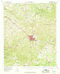
1958 Map of Elberton
USGS Topo · Published 1959About this map
The granite-rich landscape surrounding Elberton is meticulously documented in this late 1950s survey, revealing a region defined by its industry and transit networks. Numerous quarries dot the terrain, particularly around the city center and the Silk Mills, indicating the area's economic backbone. The intersection of the Southern Railway and the Seaboard Air Line facilitated the movement of goods and people through rural hubs like Dewy Rose and Oglesby.
Find a feature on this map
74 named features on this map. Tap any name to fly to it.
Don’t see what you’re looking for? This feature index may not catch every label — zoom into the map to look around manually.
Map Details
Editions of this 1958 Elberton Map
2 editions found
Other maps of this area

1891 · Carnesville
USGS Topo · 1:125,000

1893 · Elberton
USGS Topo · 1:125,000

1906 · Crawfordville
USGS Topo · 1:125,000

1953 · Athens
USGS Topo · 1:250,000

1954 · Greenville
USGS Topo · 1:250,000

1955 · Broad
USGS Topo · 1:24,000

1958 · Greenville
USGS Topo · 1:250,000

1958 · Athens
USGS Topo · 1:250,000

1958 · Danielsville
USGS Topo · 1:62,500

1959 · Athens
USGS Topo · 1:250,000