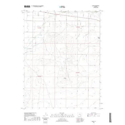
2019 Map of Elder
USGS Topo · Published 2019About this map
Elder serves as a focal point for this Otero County landscape, where the high plains transition into a complex network of managed waterways. The agricultural character of the region is defined by the extensive irrigation system, including the Otero Canal, Catlin Canal, and the Oxford Farmers Ditch, which redirect water across the arid terrain. These man-made channels contrast with the natural course of the Apishapa River and the rugged topography of Apishapa Bluff to the south.
Find a feature on this map
44 named features on this map. Tap any name to fly to it.
Don’t see what you’re looking for? This feature index may not catch every label — zoom into the map to look around manually.
Map Details
Editions of this 2019 Elder Map
This is the sole edition of this map. No revisions or reprints were ever made.
Other maps of this area
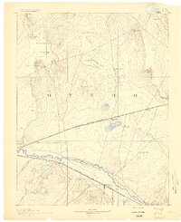
1891 · Catlin
USGS Topo · 1:125,000
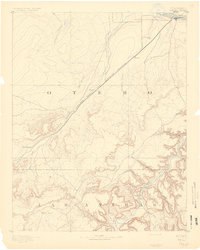
1891 · Timpas
USGS Topo · 1:125,000
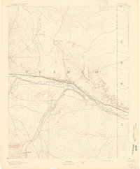
1891 · Nepesta
USGS Topo · 1:125,000
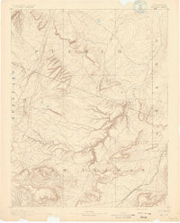
1891 · Apishapa
USGS Topo · 1:125,000
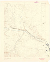
1893 · Nepesta
USGS Topo · 1:125,000
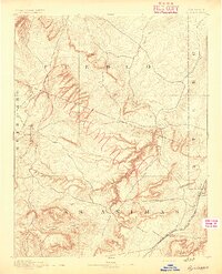
1893 · Apishapa
USGS Topo · 1:125,000
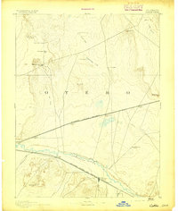
1893 · Catlin
USGS Topo · 1:125,000
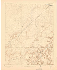
1894 · Timpas
USGS Topo · 1:125,000
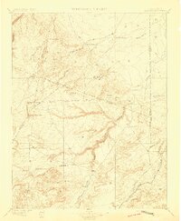
1897 · Apishapa
USGS Topo · 1:125,000
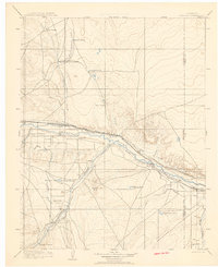
1904 · Nepesta
USGS Topo · 1:125,000