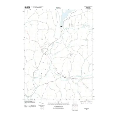
2010 Map of Elderton
USGS Topo · Published 2010About this map
Elderton and Shelocta anchor this mapping of western Pennsylvania's undulating landscape, where small crossroads settlements remain connected by a dense network of township roads. The northern portion is dominated by the sprawling waters of Keystone Lake, regulated by the Keystone Station Dam and fed by Plum Creek and Cessna Run. This reservoir, alongside smaller bodies like Shady Side Lake, indicates the region's managed water resources and industrial heritage.
Find a feature on this map
88 named features on this map. Tap any name to fly to it.
Don’t see what you’re looking for? This feature index may not catch every label — zoom into the map to look around manually.
Map Details
Editions of this 2010 Elderton Map
This is the sole edition of this map. No revisions or reprints were ever made.
Other maps of this area

1901 · Rural Valley
USGS Topo · 1:62,500

1902 · Indiana
USGS Topo · 1:62,500

1902 · Elders Ridge
USGS Topo · 1:62,500

1903 · Rural Valley
USGS Topo · 1:62,500

1904 · Elders Ridge
USGS Topo · 1:62,500

1909 · Smicksburg
USGS Topo · 1:62,500

1938 · Smicksburg
USGS Topo · 1:62,500

1939 · Smicksburg
USGS Topo · 1:62,500

1953 · Pittsburgh
USGS Topo · 1:250,000

1954 · Pittsburgh
USGS Topo · 1:250,000