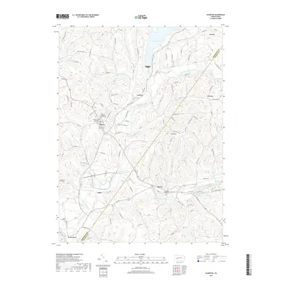
2019 Map of Elderton
USGS Topo · Published 2019About this map
Elderton and Shelocta anchor this landscape of the western Pennsylvania hills, where the drainage of Crooked Creek and its many tributaries dictates the layout of the local road network. The map reveals a dense distribution of local history markers, particularly concentrated in the cemeteries that serve these rural communities, such as the Montgomery Family Cem and the Shelocta Presbyterian Cem.
Find a feature on this map
108 named features on this map. Tap any name to fly to it.
Don’t see what you’re looking for? This feature index may not catch every label — zoom into the map to look around manually.
Map Details
Editions of this 2019 Elderton Map
This is the sole edition of this map. No revisions or reprints were ever made.
Other maps of this area

1901 · Rural Valley
USGS Topo · 1:62,500

1902 · Indiana
USGS Topo · 1:62,500

1902 · Elders Ridge
USGS Topo · 1:62,500

1903 · Rural Valley
USGS Topo · 1:62,500

1904 · Elders Ridge
USGS Topo · 1:62,500

1909 · Smicksburg
USGS Topo · 1:62,500

1938 · Smicksburg
USGS Topo · 1:62,500

1939 · Smicksburg
USGS Topo · 1:62,500

1953 · Pittsburgh
USGS Topo · 1:250,000

1954 · Pittsburgh
USGS Topo · 1:250,000