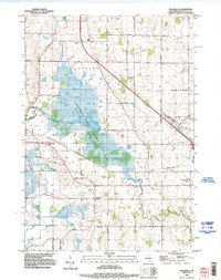
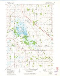
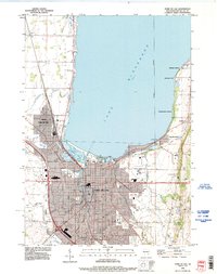
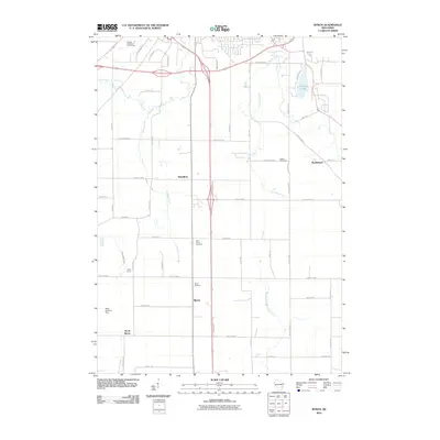
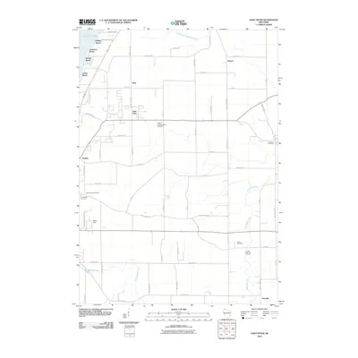
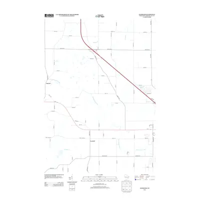
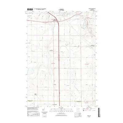
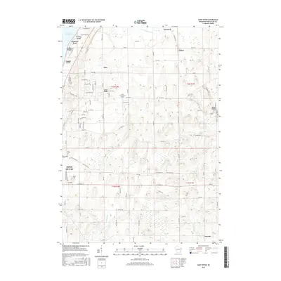
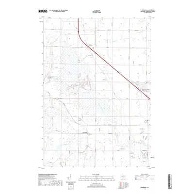
1992 Map of Eldorado
USGS Topo · Published 1996About this map
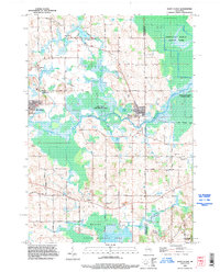
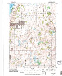
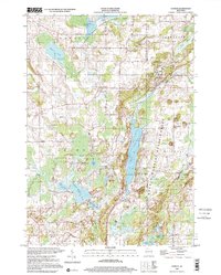
The Eldorado State Wildlife Area dominates this portion of Fond du Lac County, preserving a sprawling wetland complex where the West Branch Fond du Lac River meanders toward the southeast. This 1990s revision illustrates the intersection of conservation and agriculture, with numerous drainage ditches and smaller waterways like Sevenmile Creek and Van Dyne Creek defining the rural landscape. The settlement of Eldorado sits at the western edge of the marsh, while Woodhull serves as a southern anchor point along the road network.
Find a feature on this map
46 named features on this map. Tap any name to fly to it.
Don’t see what you’re looking for? This feature index may not catch every label — zoom into the map to look around manually.
Map Details
Editions of this 1992 Eldorado Map
This is the sole edition of this map. No revisions or reprints were ever made.
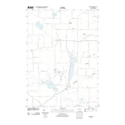
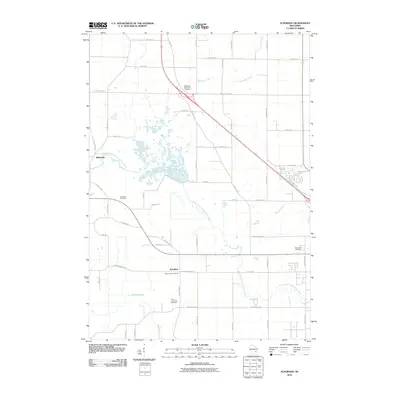
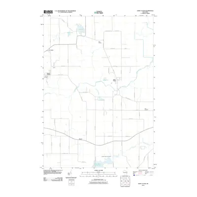
Historical Maps of North Fond du Lac Through Time
44 maps found
1955 Fond Du Lac
Fond du Lac County, WI
1955 Fond Du Lac
Fond du Lac County, WI

1974 Byron
Fond du Lac County, WI
1974 Dundee
Fond du Lac County, WI
1975 Waupun NE
Fond du Lac County, WI
1975 Waupun NW
Fond du Lac County, WI
1980 Eldorado
Fond du Lac County, WI

1980 Fond Du Lac
Fond du Lac County, WI
1980 Waupun North
Fond du Lac County, WI
1992 Eldorado
Fond du Lac County, WI
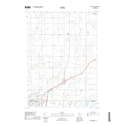
1992 Fond Du Lac
Fond du Lac County, WI
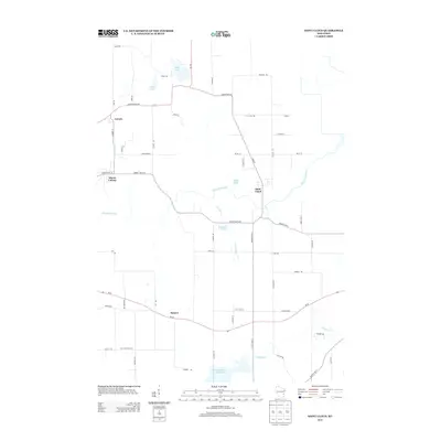
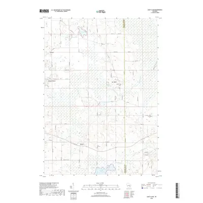
1992 Saint Cloud
Fond du Lac County, WI
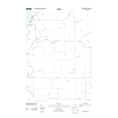
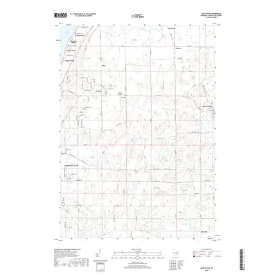
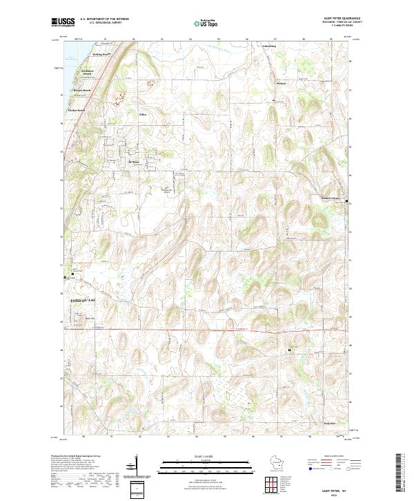
1992 Saint Peter
Fond du Lac County, WI
1999 Dundee
Fond du Lac County, WI
2010 Byron
Fond du Lac County, WI
2010 Dundee
Fond du Lac County, WI
2010 Eldorado
Fond du Lac County, WI
2010 Saint Cloud
Fond du Lac County, WI
2010 Saint Peter
Fond du Lac County, WI
2010 Waupun North
Fond du Lac County, WI
2013 Byron
Fond du Lac County, WI
2013 Dundee
Fond du Lac County, WI
2013 Eldorado
Fond du Lac County, WI
2013 Saint Cloud
Fond du Lac County, WI
2013 Saint Peter
Fond du Lac County, WI
2013 Waupun North
Fond du Lac County, WI
2015 Byron
Fond du Lac County, WI
2015 Dundee
Fond du Lac County, WI
2015 Eldorado
Fond du Lac County, WI
2015 Saint Cloud
Fond du Lac County, WI
2015 Saint Peter
Fond du Lac County, WI
2015 Waupun North
Fond du Lac County, WI
2018 Byron
Fond du Lac County, WI
2018 Dundee
Fond du Lac County, WI
2018 Eldorado
Fond du Lac County, WI
2018 Saint Cloud
Fond du Lac County, WI
2018 Saint Peter
Fond du Lac County, WI
2018 Waupun North
Fond du Lac County, WI
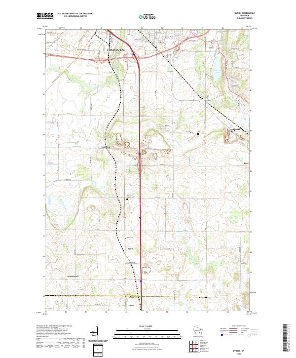
2022 Byron
Fond du Lac County, WI
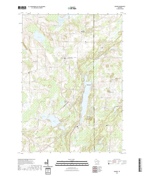
2022 Dundee
Fond du Lac County, WI
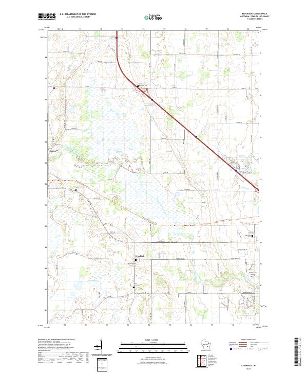
2022 Eldorado
Fond du Lac County, WI
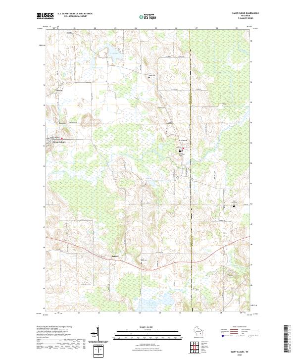
2022 Saint Cloud
Fond du Lac County, WI
2022 Saint Peter
Fond du Lac County, WI
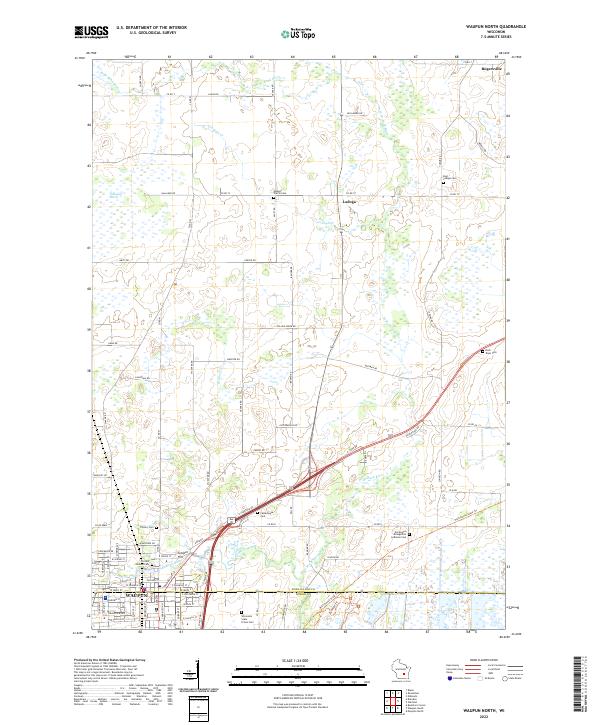
2022 Waupun North
Fond du Lac County, WI