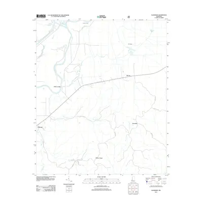
2012 Map of Eldorado
USGS Topo · Published 2012About this map
Eldorado Landing and Adams Landing mark the eastern banks of the Yazoo River, highlighting a landscape shaped by river transport and floodplain agriculture. The terrain shifts from the low-lying wetlands of The Basin to the gently rising hills where small communities and family-named roads intersect. Settlements such as Eldorado and Russellville are linked by a network of rural routes including Russellville Rd and Co Line Rd, reflecting the dispersed nature of residential life in Warren County.
Find a feature on this map
23 named features on this map. Tap any name to fly to it.
Don’t see what you’re looking for? This feature index may not catch every label — zoom into the map to look around manually.
Map Details
Editions of this 2012 Eldorado Map
This is the sole edition of this map. No revisions or reprints were ever made.
Other maps of this area

1918 · Vicksburg
USGS Topo · 1:62,500

1938 · Edwards
USGS Topo · 1:62,500

1939 · Onward
USGS Topo · 1:62,500

1940 · Mechanicsburg
USGS Topo · 1:62,500

1941 · Vicksburg
USGS Topo · 1:62,500

1955 · Jackson
USGS Topo · 1:250,000

1961 · Jackson
USGS Topo · 1:250,000

1962 · Jackson
USGS Topo · 1:250,000

1962 · Redwood
USGS Topo · 1:24,000

1963 · Mechanicsburg
USGS Topo · 1:62,500