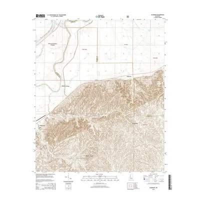
2015 Map of Eldorado
USGS Topo · Published 2015About this map
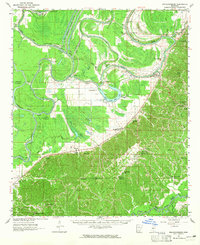
The Yazoo River defines the western edge of this landscape, meandering past Adams Landing and the dense bottomlands of the Delta National Forest. This river corridor transitions abruptly from the flat, low-lying alluvial plain known as The Basin into the deeply dissected uplands to the south and east. Here, a network of ridges and hollows is mapped in fine detail, revealing the complex drainage patterns of Collins Cr and Corn House Cr. Scattered rural communities and family-named landmarks are centered around historical crossroads, including Eldorado, Russellville, and Bradley Chapel. Remote stretches of the region are accessed by a grid of local routes like Possum Hollow Rd and Smithhart Rd, which follow the contours of the high ground between the river basin and the surrounding interior hills.
Find a feature on this map
30 named features on this map. Tap any name to fly to it.
Don’t see what you’re looking for? This feature index may not catch every label — zoom into the map to look around manually.
Map Details
Editions of this 2015 Eldorado Map
This is the sole edition of this map. No revisions or reprints were ever made.
Other maps of this area
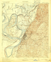
1918 · Vicksburg
USGS Topo · 1:62,500
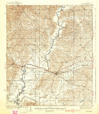
1938 · Edwards
USGS Topo · 1:62,500
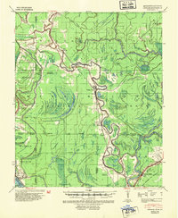
1939 · Onward
USGS Topo · 1:62,500
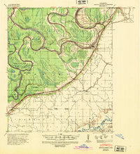
1940 · Mechanicsburg
USGS Topo · 1:62,500
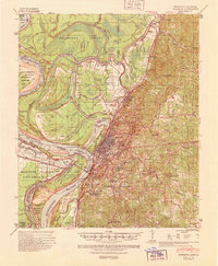
1941 · Vicksburg
USGS Topo · 1:62,500

1955 · Jackson
USGS Topo · 1:250,000

1961 · Jackson
USGS Topo · 1:250,000
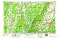
1962 · Jackson
USGS Topo · 1:250,000
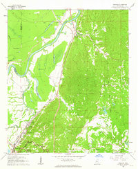
1962 · Redwood
USGS Topo · 1:24,000
1963 · Mechanicsburg
USGS Topo · 1:62,500