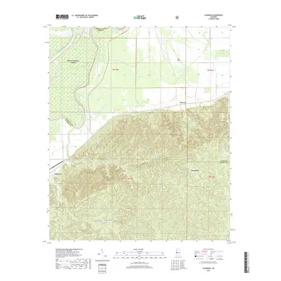
2018 Map of Eldorado
USGS Topo · Published 2018About this map
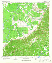
Delta National Forest dominates the northern reaches of this Mississippi landscape, bordering the complex waterways of the Yazoo River basin. The terrain transitions from the low-lying wetlands of The Basin and Johnson Lake in the north to the dissected ridges of the south. This contrast defines the region's historical geography, where small settlements like Eldorado and Russellville sit at the intersection of various county lines. A network of rural roads, including Possum Hollow Rd and Ballground Rd, connects these upland areas to the Ballground community. The map reveals a dense system of tributary drainages such as Collins Creek and Corn House Cr, illustrating the rugged hydraulic patterns that have shaped land use and local property boundaries across Warren, Yazoo, and Issaquena counties.
Find a feature on this map
26 named features on this map. Tap any name to fly to it.
Don’t see what you’re looking for? This feature index may not catch every label — zoom into the map to look around manually.
Map Details
Editions of this 2018 Eldorado Map
This is the sole edition of this map. No revisions or reprints were ever made.
Other maps of this area
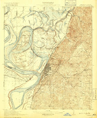
1918 · Vicksburg
USGS Topo · 1:62,500
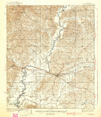
1938 · Edwards
USGS Topo · 1:62,500
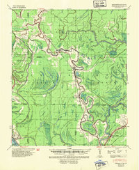
1939 · Onward
USGS Topo · 1:62,500
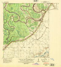
1940 · Mechanicsburg
USGS Topo · 1:62,500
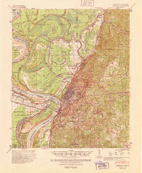
1941 · Vicksburg
USGS Topo · 1:62,500

1955 · Jackson
USGS Topo · 1:250,000

1961 · Jackson
USGS Topo · 1:250,000
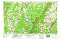
1962 · Jackson
USGS Topo · 1:250,000
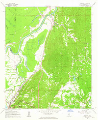
1962 · Redwood
USGS Topo · 1:24,000
1963 · Mechanicsburg
USGS Topo · 1:62,500