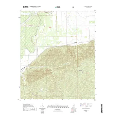
2021 Map of Eldorado
USGS Topo · Published 2021About this map
The Yazoo River winds along the western edge of this landscape, marking the transition from the low-lying wetlands of the Delta National Forest to the deeply dissected uplands to the east. This 2021 topographic survey highlights the complex drainage systems that feed into the river valley, including Collins Creek and Corn House Cr. The northern reach is characterized by the wide, marshy expanse known as The Basin and the adjacent Johnson Lake, illustrating the river's historical influence on the topography.
Find a feature on this map
25 named features on this map. Tap any name to fly to it.
Don’t see what you’re looking for? This feature index may not catch every label — zoom into the map to look around manually.
Map Details
Editions of this 2021 Eldorado Map
This is the sole edition of this map. No revisions or reprints were ever made.
Other maps of this area

1918 · Vicksburg
USGS Topo · 1:62,500

1938 · Edwards
USGS Topo · 1:62,500

1939 · Onward
USGS Topo · 1:62,500

1940 · Mechanicsburg
USGS Topo · 1:62,500

1941 · Vicksburg
USGS Topo · 1:62,500

1955 · Jackson
USGS Topo · 1:250,000

1961 · Jackson
USGS Topo · 1:250,000

1962 · Jackson
USGS Topo · 1:250,000

1962 · Redwood
USGS Topo · 1:24,000

1963 · Mechanicsburg
USGS Topo · 1:62,500