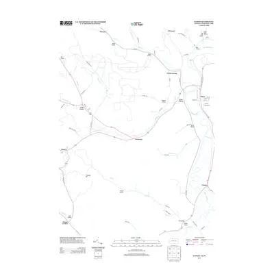
2013 Map of Eldred
USGS Topo · Published 2013About this map
The Allegheny River valley serves as the central corridor for this 2013 survey, where river-level settlements like Eldred and Larabee sit in contrast to the deep hollows and high points of the surrounding plateau. The region's transport history is visible in the network of rural roads such as Troy Timber Line Rd and Kansas Branch Rd, which navigate the complex drainage systems of Knapp Cr and Indian Cr.
Find a feature on this map
80 named features on this map. Tap any name to fly to it.
Don’t see what you’re looking for? This feature index may not catch every label — zoom into the map to look around manually.
Map Details
Editions of this 2013 Eldred Map
This is the sole edition of this map. No revisions or reprints were ever made.
Other maps of this area

1898 · Olean
USGS Topo · 1:62,500

1900 · Salamanca
USGS Topo · 1:62,500

1924 · Bradford
USGS Topo · 1:62,500

1926 · Bradford
USGS Topo · 1:62,500

1933 · Smethport
USGS Topo · 1:62,500

1937 · Smethport
USGS Topo · 1:62,500

1938 · Salamanca
USGS Topo · 1:62,500

1938 · Olean
USGS Topo · 1:62,500

1941 · Bradford
USGS Topo · 1:62,500

1943 · Olean
USGS Topo · 1:62,500