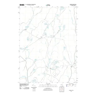
2010 Map of Eldred
USGS Topo · Published 2010About this map
Eldred and the surrounding woodlands of Pike County and New York appear here as a landscape defined by an intricate network of freshwater bodies and rural camps. The southeastern corner is anchored by Eldred, while the settlement of Yulan sits further west, surrounded by Montgomery Lake, Bodine Lake, and Washington Lake. This 2010 survey highlights the region's character as a retreat, featuring Welmet Camps and numerous private ponds like Toasperns Pond and Schumacher Pond. The Delaware River cuts through the southwestern edge near Tusten Mountain, illustrating the steep descent from the interior uplands to the river valley. For local historians, the map identifies specific community landmarks such as Beaver Brook Cemetery and Saint Anthonys Cemetery, along with several family-named roads including Dexheimer Rd and Ryer Rd that trace the historical divisions of these highland properties.
Find a feature on this map
86 named features on this map. Tap any name to fly to it.
Don’t see what you’re looking for? This feature index may not catch every label — zoom into the map to look around manually.
Map Details
Editions of this 2010 Eldred Map
This is the sole edition of this map. No revisions or reprints were ever made.
Other maps of this area

1913 · Milford
USGS Topo · 1:62,500

1915 · Milford
USGS Topo · 1:62,500

1920 · Damascus
USGS Topo · 1:62,500

1922 · White Lake
USGS Topo · 1:62,500

1923 · Damascus
USGS Topo · 1:62,500

1935 · Hawley
USGS Topo · 1:62,500

1938 · Hawley
USGS Topo · 1:62,500

1942 · White Lake
USGS Topo · 1:62,500

1943 · Honesdale
USGS Topo · 1:125,000

1943 · White Lake
USGS Topo · 1:62,500