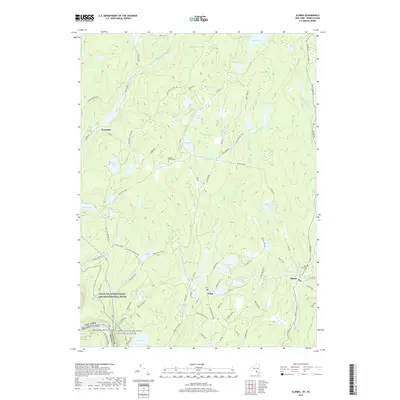
2019 Map of Eldred
USGS Topo · Published 2019About this map
The Upper Delaware Scenic and Recreational River corridor defines the southwestern reach of this landscape, where the border between New York and Pennsylvania follows the winding waterway. The settlement of Eldred serves as a local hub, connected to the nearby village of Yulan and the smaller hamlet of Newieden. This area of Sullivan County is characterized by an extensive network of water bodies and wetlands, including Washington Lake, Montgomery Lake, and the expansive Big Brady Swamp.
Find a feature on this map
106 named features on this map. Tap any name to fly to it.
Don’t see what you’re looking for? This feature index may not catch every label — zoom into the map to look around manually.
Map Details
Editions of this 2019 Eldred Map
This is the sole edition of this map. No revisions or reprints were ever made.
Other maps of this area
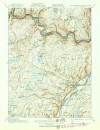
1913 · Milford
USGS Topo · 1:62,500
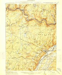
1915 · Milford
USGS Topo · 1:62,500
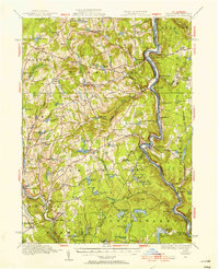
1920 · Damascus
USGS Topo · 1:62,500
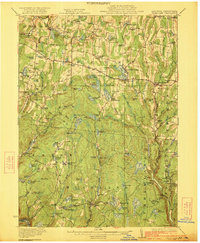
1922 · White Lake
USGS Topo · 1:62,500
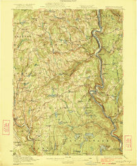
1923 · Damascus
USGS Topo · 1:62,500
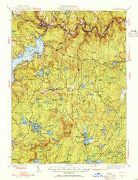
1935 · Hawley
USGS Topo · 1:62,500
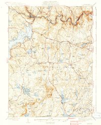
1938 · Hawley
USGS Topo · 1:62,500
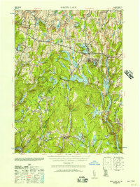
1942 · White Lake
USGS Topo · 1:62,500
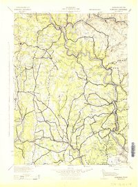
1943 · Honesdale
USGS Topo · 1:125,000
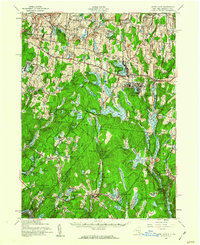
1943 · White Lake
USGS Topo · 1:62,500