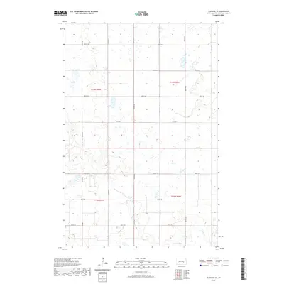
2020 Map of Eldridge SE
USGS Topo · Published 2020About this map
Beaver Cr meanders across this rural section of Stutsman County, cutting through a landscape dominated by the Public Land Survey System's rigid grid. This part of North Dakota is defined by its agricultural layout, where section lines are traced by a series of gravel and local roads such as 38th St SE and 45th St SE. The terrain is characterized by numerous prairie potholes and small depressions that dot the townships of t139n r65w and t138n r64w, illustrating the glacial topography of the region. This survey captures the intersection of natural drainage and human organization, showing how the local road network accommodates the seasonal wetlands and the winding path of the creek.
Find a feature on this map
13 named features on this map. Tap any name to fly to it.
Don’t see what you’re looking for? This feature index may not catch every label — zoom into the map to look around manually.
Map Details
Editions of this 2020 Eldridge SE Map
This is the sole edition of this map. No revisions or reprints were ever made.
Other maps of this area

1896 · Jamestown
USGS Topo · 1:125,000

1951 · Jamestown
USGS Topo · 1:24,000

1951 · Eldridge SE
USGS Topo · 1:24,000

1951 · Eldridge NW
USGS Topo · 1:24,000

1952 · Eldridge
USGS Topo · 1:24,000

1952 · Homer
USGS Topo · 1:24,000

1952 · Jud NW
USGS Topo · 1:24,000

1952 · Eldridge SW
USGS Topo · 1:24,000

1953 · Jamestown
USGS Topo · 1:250,000

1953 · Montpelier NW
USGS Topo · 1:24,000