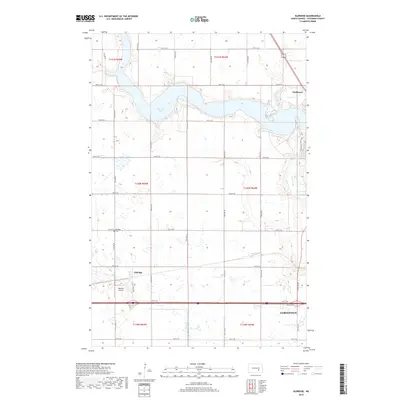
2018 Map of Eldridge
USGS Topo · Published 2018About this map
Pipestem Lake dominates the upper half of this Stutsman County landscape, its irregular shoreline carving into the surrounding prairie. This 2018 survey captures the rural layout of the region as it transitions from open fields toward the western edges of Jamestown. Local history is anchored by the small settlement of Eldridge, where the Eldridge Cem and the Johnson Airstrip serve as key landmarks for genealogists and regional researchers.
Find a feature on this map
25 named features on this map. Tap any name to fly to it.
Don’t see what you’re looking for? This feature index may not catch every label — zoom into the map to look around manually.
Map Details
Editions of this 2018 Eldridge Map
This is the sole edition of this map. No revisions or reprints were ever made.
Other maps of this area
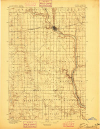
1896 · Jamestown
USGS Topo · 1:125,000
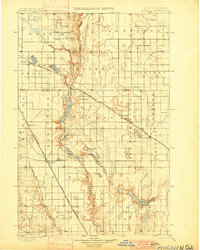
1900 · Pingree
USGS Topo · 1:125,000
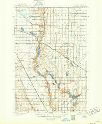
1900 · Pingree
USGS Topo · 1:62,500
1950 · Buchanan
USGS Topo · 1:24,000
1950 · Fried
USGS Topo · 1:24,000
1951 · Jamestown
USGS Topo · 1:24,000
1951 · Fried
USGS Topo · 1:24,000
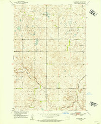
1951 · Eldridge SE
USGS Topo · 1:24,000
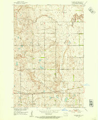
1951 · Eldridge NW
USGS Topo · 1:24,000
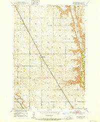
1952 · Buchanan
USGS Topo · 1:24,000