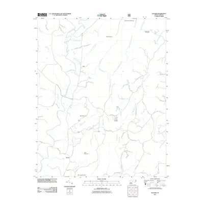
2011 Map of Eleazer
USGS Topo · Published 2011About this map
The settlement of Eleazer serves as a central landmark in this part of Randolph County, surrounded by a complex network of waterways and prominent peaks. The Uwharrie River winds through the western terrain, joined by numerous tributaries including Walkers Creek and Silver Run Creek. To the east, the West Fork Little River and its branches define the drainage patterns. The topography is characterized by distinct heights such as King Mountain, Black Mountain, and Cedar Rock Mountain, which dominate the skyline between the river valleys.
Find a feature on this map
76 named features on this map. Tap any name to fly to it.
Don’t see what you’re looking for? This feature index may not catch every label — zoom into the map to look around manually.
Map Details
Editions of this 2011 Eleazer Map
This is the sole edition of this map. No revisions or reprints were ever made.
Other maps of this area

1942 · Troy
USGS Topo · 1:125,000

1953 · Raleigh
USGS Topo · 1:250,000

1953 · Charlotte
USGS Topo · 1:250,000

1954 · Charlotte
USGS Topo · 1:250,000

1954 · Raleigh
USGS Topo · 1:250,000

1957 · Albemarle
USGS Topo · 1:62,500

1957 · Denton
USGS Topo · 1:62,500

1957 · Troy
USGS Topo · 1:62,500

1957 · Asheboro
USGS Topo · 1:62,500

1960 · Charlotte
USGS Topo · 1:250,000