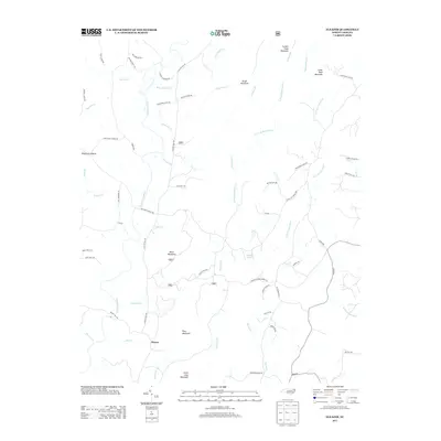
2013 Map of Eleazer
USGS Topo · Published 2013About this map
The Piedmont Upland of Randolph County is defined by its series of distinct peaks and a complex network of waterways that once powered the local agrarian economy. The settlement of Eleazer sits at the base of King Mountain, south of where Lassiter Mill Rd traces the path of former mill sites along the Uwharrie River. The topography is notably marked by several prominent summits including Black Mountain, Cedar Rock Mountain, and Little Long Mountain, which rise above the drainages of Poison Fork and Betty McGees Cr. A landscape of timber and tradition, the area is connected by routes like Pisgah Covered Bridge Rd, pointing to the region's preserved engineering heritage. The map details a transition from the lower river valleys to the heights of Brush Mountain and Coolers Knob Mountain, illustrating the rural character and family-named roads that persist in this part of North Carolina.
Find a feature on this map
65 named features on this map. Tap any name to fly to it.
Don’t see what you’re looking for? This feature index may not catch every label — zoom into the map to look around manually.
Map Details
Editions of this 2013 Eleazer Map
This is the sole edition of this map. No revisions or reprints were ever made.
Other maps of this area

1942 · Troy
USGS Topo · 1:125,000

1953 · Raleigh
USGS Topo · 1:250,000

1953 · Charlotte
USGS Topo · 1:250,000

1954 · Charlotte
USGS Topo · 1:250,000

1954 · Raleigh
USGS Topo · 1:250,000

1957 · Albemarle
USGS Topo · 1:62,500

1957 · Denton
USGS Topo · 1:62,500

1957 · Troy
USGS Topo · 1:62,500

1957 · Asheboro
USGS Topo · 1:62,500

1960 · Charlotte
USGS Topo · 1:250,000