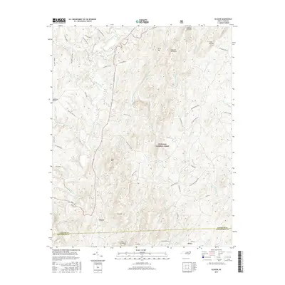
2016 Map of Eleazer
USGS Topo · Published 2016About this map
The Uwharrie National Forest dominates this section of the Piedmont Upland, where the Uwharrie River winds through a landscape of distinct peaks like King Mtn and Coolers Knob Mtn. The rural communities of Eleazer and Abner anchor the southern portion of the sheet near the border of Randolph Co and Montgomery Co. This 2016 survey illustrates a persistent agrarian and timber-based geography, where historic transit routes like Lassiter Mill Rd and the Pisgah Covered Bridge Rd follow the contours of the Uwharrie Mountains. The map provides detailed placement of numerous family-named roads and natural water features, including Betty McGees Cr and Poison Fork, reflecting the intricate drainage system that defines this part of the North Carolina interior.
Find a feature on this map
62 named features on this map. Tap any name to fly to it.
Don’t see what you’re looking for? This feature index may not catch every label — zoom into the map to look around manually.
Map Details
Editions of this 2016 Eleazer Map
This is the sole edition of this map. No revisions or reprints were ever made.
Other maps of this area
1942 · Troy
USGS Topo · 1:125,000
1953 · Raleigh
USGS Topo · 1:250,000
1953 · Charlotte
USGS Topo · 1:250,000
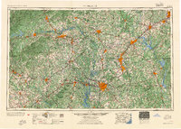
1954 · Charlotte
USGS Topo · 1:250,000
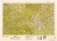
1954 · Raleigh
USGS Topo · 1:250,000
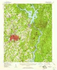
1957 · Albemarle
USGS Topo · 1:62,500
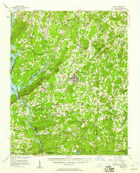
1957 · Denton
USGS Topo · 1:62,500
1957 · Troy
USGS Topo · 1:62,500
1957 · Asheboro
USGS Topo · 1:62,500
1960 · Charlotte
USGS Topo · 1:250,000