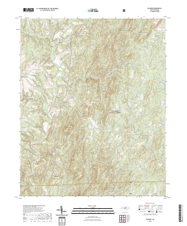
2022 Map of Eleazer
USGS Topo · Published 2022About this map
The Uwharrie National Forest dominates this landscape, covering a complex system of ridges and peaks in the Uwharrie Mountains. The Uwharrie River winds through the western portion of the quadrangle, joined by numerous tributaries like Betty McGees Cr and Hannahs Cr. Settlement is concentrated around the small communities of Eleazer and Abner, located near the border of Randolph and Montgomery counties. The area's history of agricultural and timber use is evident in the network of family-named roads such as Lassiter Mill RD, Voncannon Farm RD, and Waynick Meadow RD.
Find a feature on this map
82 named features on this map. Tap any name to fly to it.
Don’t see what you’re looking for? This feature index may not catch every label — zoom into the map to look around manually.
Map Details
Editions of this 2022 Eleazer Map
This is the sole edition of this map. No revisions or reprints were ever made.
Other maps of this area

1942 · Troy
USGS Topo · 1:125,000

1953 · Raleigh
USGS Topo · 1:250,000

1953 · Charlotte
USGS Topo · 1:250,000

1954 · Charlotte
USGS Topo · 1:250,000

1954 · Raleigh
USGS Topo · 1:250,000

1957 · Albemarle
USGS Topo · 1:62,500

1957 · Denton
USGS Topo · 1:62,500

1957 · Troy
USGS Topo · 1:62,500

1957 · Asheboro
USGS Topo · 1:62,500

1960 · Charlotte
USGS Topo · 1:250,000