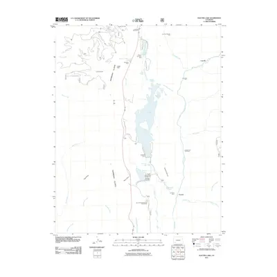
2011 Map of Electra Lake
USGS Topo · Published 2011About this map
Electra Lake dominates this mountain landscape, held by the Terminal Dam and surrounded by a network of smaller water bodies like Papoose Lake and Ignacio Lake. The terrain is defined by the dramatic drop of the Hermosa Cliffs to the west and the deep drainage of the Animas River to the east. This 2011 survey captures the area as a hub for recreation and resource extraction, showing the Purgatory Ski Area alongside legacy industrial sites such as the American Minerals Mine and the Silver Star Mine. Local infrastructure is well-established around the settlements of Columbine and Tacoma, with several developed campgrounds like Chris Park Organizational Campground and the Tall Timber Resort positioned to take advantage of the canyon and lake views. The map traces the historical patterns of ranching at Columbine Ranch and the early 20th-century water management systems required for mountain life.
Find a feature on this map
48 named features on this map. Tap any name to fly to it.
Don’t see what you’re looking for? This feature index may not catch every label — zoom into the map to look around manually.
Map Details
Editions of this 2011 Electra Lake Map
This is the sole edition of this map. No revisions or reprints were ever made.
Other maps of this area

1898 · Durango
USGS Topo · 1:62,500

1898 · Engineer Mountain
USGS Topo · 1:62,500

1900 · Engineer Mountain
USGS Topo · 1:62,500

1900 · Needle Mountains
USGS Topo · 1:62,500

1902 · Needle Mountains
USGS Topo · 1:62,500

1907 · Durango
USGS Topo · 1:62,500

1908 · Engineer Mountain
USGS Topo · 1:62,500

1908 · Ignacio
USGS Topo · 1:125,000

1908 · Durango
USGS Topo · 1:62,500

1924 · Ignacio
USGS Topo · 1:125,000